

- Usage in publication:
-
- Glendora volcanics*
- Modifications:
-
- Named
- Dominant lithology:
-
- Volcanics
- Breccia
- Andesite
- AAPG geologic province:
-
- Los Angeles basin
- Transverse Ranges province
Summary:
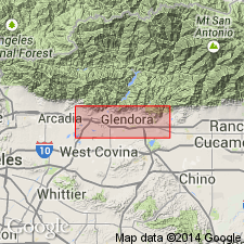
Named for volcanic and related intrusive rocks in vicinity of Glendora, South Hills, and at northeast end of San Jose Hills [Glendora and San Dimas 7.5' quads] Los Angeles Co, CA. Consists of interbedded tuff breccias and flows, chiefly andesitic in composition. Grouped into lithologic members: fine-grained andesite, calcic andesite, tuff breccia, basaltic lava, hornblende andesite breccia, dacite breccia and dikes, shown on geologic map of northeast margin of San Gabriel basin. Underlies Topanga formation. In western part of South Hills Glendora volcanics is interbedded with sandstones and shales which contain foraminifers and fish scales of Kleinpell's Luisian and Mohnian Stages. No direct evidence has been found for age of Glendora between Dalton and San Dimas Canyon. Age given as Miocene.
Source: GNU records (USGS DDS-6; Menlo GNULEX).
- Usage in publication:
-
- Glendora volcanics
- Modifications:
-
- Revised
- Overview
- AAPG geologic province:
-
- Los Angeles basin
- Transverse Ranges province
Summary:
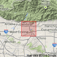
Glendora volcanics in type area [vicinity of Glendora, South Hills, and northeast end of San Jose Hills, Los Angeles Co, CA] aggregate about 7.3 sq mi and has estimated volume of one cu mi, 300 sq mi in subsurface and 3000 ft or more of thickness in subsurface. In field 22 mappable varieties or members recognized. Includes three named members: Spadra felsophyre, Elephant Hill breccia and Johnstone Peak tuff breccia members (all new). Overlies basement complex and Mountain Meadows dacite [Mountain Meadows dacite porphyry]. Underlies Topanga formation or Puente formation. Lithologic, petrographic, and chemical analyses included for six outcrop areas. Map, columnar section, and cross sections of unit also included. Age given as middle Miocene and possibly older on map legend.
Source: GNU records (USGS DDS-6; Menlo GNULEX).
For more information, please contact Nancy Stamm, Geologic Names Committee Secretary.
Asterisk (*) indicates published by U.S. Geological Survey authors.
"No current usage" (†) implies that a name has been abandoned or has fallen into disuse. Former usage and, if known, replacement name given in parentheses ( ).
Slash (/) indicates name conflicts with nomenclatural guidelines (CSN, 1933; ACSN, 1961, 1970; NACSN, 1983, 2005, 2021). May be explained within brackets ([ ]).