- Usage in publication:
-
- Glen Mountains Layered Complex
- Modifications:
-
- Named
- Dominant lithology:
-
- Gabbro
- Anorthosite
- AAPG geologic province:
-
- South Oklahoma folded belt
Summary:
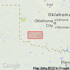
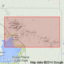
Named as the basal unit of the Raggedy Mountain Gabbro Group for extensive exposures in the Glen Mountains in T4N, Rs16 and 17W, Kiowa Co, OK in the South Oklahoma folded belt province. These exposures are the type area. Mapped east of type into Comanche Co in the Wichita Mountains. Geologic map. Stratigraphic chart. Characterized by primary igneous layering and lamination. Upper limit of complex defined by contact with sills of younger granites which were emplaced along an erosional unconformity between the complex and the Carlton Rhyolite Group. Base of complex not exposed. Is medium to coarse grained gabbro, troctolite, anorthosite, and anorthositic gabbro. Composed of cumulus calcic plagioclase, cumulus or intercumulus augite, cumulus olivine, and intercumulus hypersthene, magnetite, and ilmenite. Four [informal] zones (ascending) recognized: G zone at base succeeded by K zone, L zone, and M zone. Intruded by Roosevelt Gabbros (new) of the Raggedy Mountain Gabbro Group. Of Cambrian and Proterozoic age.
Source: GNU records (USGS DDS-6; Denver GNULEX).

- Usage in publication:
-
- Glen Mountains layered complex*
- Modifications:
-
- Age modified
- Geochronologic dating
- AAPG geologic province:
-
- South Oklahoma folded belt
Summary:
Rb-Sr and Sm-Nd isotopic dates from rocks and minerals from the Glen Mountains layered complex revises its age range to 577 +/-165 Ma to 528 +/-29 Ma (early Paleozoic). Unit is located in Wichita Mountains of southwestern OK in South Oklahoma folded belt province. Table of isotopic data. [Unit is formal--should be Glen Mountains Layered Complex.]
Source: GNU records (USGS DDS-6; Denver GNULEX).
For more information, please contact Nancy Stamm, Geologic Names Committee Secretary.
Asterisk (*) indicates published by U.S. Geological Survey authors.
"No current usage" (†) implies that a name has been abandoned or has fallen into disuse. Former usage and, if known, replacement name given in parentheses ( ).
Slash (/) indicates name conflicts with nomenclatural guidelines (CSN, 1933; ACSN, 1961, 1970; NACSN, 1983, 2005, 2021). May be explained within brackets ([ ]).

