

- Usage in publication:
-
- Glady Fork sandstone
- Modifications:
-
- Original reference
- Dominant lithology:
-
- Sandstone
- AAPG geologic province:
-
- Appalachian basin
Summary:
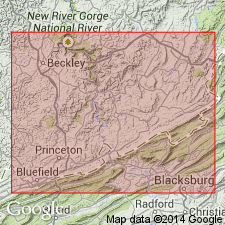
Pg. 294, 321. Glady Fork sandstone. Greenish-brown coarse massive sandstone, 25 to 40 feet thick. Plant fossils at base. Underlies Lower Mud shale and overlies Pipestem shale, all members of the Bluestone group [Bluestone formation]. Type locality in end of ridge between Brush Creek and Glady Fork, just southeast of Princeton, Mercer Co., southeastern WV. Named from Glady Fork. Age is Mississippian.
[According to GNC records (US geologic names lexicon, USGS Bull. 896, p. 222), the Bluestone group is a term used by some geologists to include same rocks as Bluestone formation of USGS reports.]
Source: US geologic names lexicon (USGS Bull. 896, p. 824).
- Usage in publication:
-
- Glady Fork sandstone member
- Modifications:
-
- Areal extent
- Redefined
- AAPG geologic province:
-
- Appalachian basin
Summary:
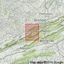
Pg. 182-183, pl. 15. Glady Fork sandstone member of Bluestone formation. Geographically extended into southwestern Virginia and redefined as member of Bluestone formation. Overlies Pipestem shale member; underlies Mud Fork member, both of the Bluestone formation. Thickness 25 to 40 feet. Age is Late Mississippian (Chesterian).
Source: US geologic names lexicon (USGS Bull. 1200, p. 1515).
- Usage in publication:
-
- Glady Fork Sandstone Member*
- Modifications:
-
- Overview
- AAPG geologic province:
-
- Appalachian basin
Summary:
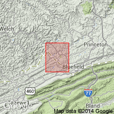
The Glady Fork Sandstone Member of the Bluestone Formation in southwestern VA consists of light gray, fine- to coarse-grained, thin-bedded to massive sandstone that contains about 65 percent quartz; also includes lenses of limestone, shale, ironstone, and quartz pebbles north of Abbs Valley anticline in eastern part of quadrangle. Overlies the Pride Shale Member and underlies the gray member, both of the Bluestone Formation. Age of the Glady Fork is Late Mississippian.
Source: GNU records (USGS DDS-6; Reston GNULEX).
For more information, please contact Nancy Stamm, Geologic Names Committee Secretary.
Asterisk (*) indicates published by U.S. Geological Survey authors.
"No current usage" (†) implies that a name has been abandoned or has fallen into disuse. Former usage and, if known, replacement name given in parentheses ( ).
Slash (/) indicates name conflicts with nomenclatural guidelines (CSN, 1933; ACSN, 1961, 1970; NACSN, 1983, 2005, 2021). May be explained within brackets ([ ]).