The National Geologic Map Database is migrating to a new infrastructure. We apologize for any service disruptions during this process.
|
|---|


- Usage in publication:
-
- Girkin formation
- Modifications:
-
- Named
- Dominant lithology:
-
- Limestone
- AAPG geologic province:
-
- Cincinnati arch
Summary:
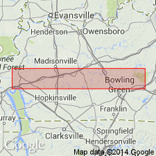
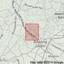
Name Girkin formation proposed for beds of Renault and Paint Creek age in western KY where the Bethel (or Sample) sandstone is not developed, though name Gasper might have been suitable. Butts has never described the section exposed along Gasper River from which his name Gasper is derived, and the formation name has never been adequately defined, nor has a type locality been clearly indicated. Uncertainty regarding the beds which Butts himself intends to include within the typical Gasper has made it impossible for writers to recognize "Gasper" as a valid formation name. Along most of the southern margin of the western KY coal basin and along part of its eastern border, the Bethel (or Sample) sandstone is absent, and the Renault and Paint Creek limestones come together to form a single formational unit. The name Gasper is not used for this unit, because of the confusion, uncertainty, and miscorrelation that have surrounded it for 15 years. Authors prefer to select the new name Girkin rather than to attempt to define the Gasper. The Girkin will include everything from Ste. Genevieve limestone (with PLATYCRINUS PENICILLUS) below to Cypress sandstone above. This part of the section is well developed in the hills around the village of Girkin in Warren Co., KY, and an excellent section may be seen in the bluff of Barren River at Greencastle, 8 mi to the west. Age of the Girkin is Mississippian.
Source: GNU records (USGS DDS-6; Reston GNULEX).
- Usage in publication:
-
- Girkin limestone
- Modifications:
-
- Revised
- Overview
- Areal extent
- AAPG geologic province:
-
- Cincinnati arch
Summary:
From Todd Co. to Grayson Co., KY, the Bethel sandstone is absent and the Renault and Paint Creek formations together form a limestone that cannot be easily subdivided. Name Gasper has been used for this limestone, but miscorrelation has resulted in such confusion that name is no longer useful. Hence, beds are now known as Girkin limestone. The Girkin consists almost entirely of massive light-gray limestone which cannot be distinguished from underlying Ste. Genevieve except by fossil content. Assigned to Chester series.
Source: GNU records (USGS DDS-6; Reston GNULEX).
- Usage in publication:
-
- Girkin Formation*
- Modifications:
-
- Overview
- AAPG geologic province:
-
- Cincinnati arch
Summary:
Girkin Formation replaces Gasper Formation in its type locality and the Gasper is therefore abandoned.
Source: GNU records (USGS DDS-6; Reston GNULEX).
- Usage in publication:
-
- Girkin Limestone*
- Modifications:
-
- Revised
- AAPG geologic province:
-
- Cincinnati arch
Summary:
Unit referred to as Girkin Limestone rather than Formation. Age is Late Mississippian (Chesterian).
Source: GNU records (USGS DDS-6; Reston GNULEX).
For more information, please contact Nancy Stamm, Geologic Names Committee Secretary.
Asterisk (*) indicates published by U.S. Geological Survey authors.
"No current usage" (†) implies that a name has been abandoned or has fallen into disuse. Former usage and, if known, replacement name given in parentheses ( ).
Slash (/) indicates name conflicts with nomenclatural guidelines (CSN, 1933; ACSN, 1961, 1970; NACSN, 1983, 2005, 2021). May be explained within brackets ([ ]).