- Usage in publication:
-
- Gilson dolomite*
- Modifications:
-
- Named
- Dominant lithology:
-
- Dolomite
- AAPG geologic province:
-
- Great Basin province
Summary:
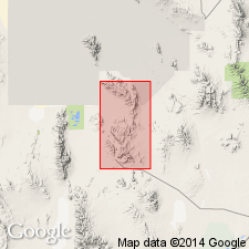
Named for Gilson Canyon, northeastern part, Dugway Range, Tooele Co, UT in the Great Basin province. Also occurs at north end Black Rock Hills to Goshoot Canyon, low hills in southern part of Bullion Canyon, and in low hills on west side Dugway Range. Type section designated along Hanauer Ridge, T9S, Rs11 and 12W. Extends into Juab Co. Measured sections in Goshoot Canyon 914 ft thick and in Buckhorn Canyon 1,312 ft thick. Overlies Goshoot formation (new) and underlies Hanauer formation (new) at both localities. Base placed on top of massive brown-weathering white quartzite (Goshoot). Top placed at base of lowest quartzite of Hanauer. Consists of light-, medium-, and dark-gray, generally fine-grained, thick-bedded to massive dolomite. Is a shallow water deposit. Fossils (brachiopods, corals, gastropods, pelecypods, crinoids) common, preservation poor. Of Late Devonian age. Geologic map.
Source: GNU records (USGS DDS-6; Denver GNULEX).
For more information, please contact Nancy Stamm, Geologic Names Committee Secretary.
Asterisk (*) indicates published by U.S. Geological Survey authors.
"No current usage" (†) implies that a name has been abandoned or has fallen into disuse. Former usage and, if known, replacement name given in parentheses ( ).
Slash (/) indicates name conflicts with nomenclatural guidelines (CSN, 1933; ACSN, 1961, 1970; NACSN, 1983, 2005, 2021). May be explained within brackets ([ ]).

