The National Geologic Map Database is migrating to a new infrastructure. We apologize for any service disruptions during this process.
|
|---|


- Usage in publication:
-
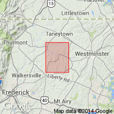
- Gillis Formation
- Modifications:
-
- Named
- Dominant lithology:
-
- Phyllite
- AAPG geologic province:
-
- Piedmont-Blue Ridge province
Summary:
Named the Gillis Formation in northern MD. Consists of dark to light silvery gray, tan, and greenish-gray quartz-chlorite-muscovite phyllite with thin zones of bluish-green and reddish-purple to pale purple muscovite phyllite. Some layers of greenish-gray phyllite contain crystals of chloritoid. Thickness of formation is not known. The Gillis occurs in the Linganore nappe and probably represents the eastern equivalents of the Urbana, Ijamsville and Marburg Formations of the Sugarloaf Mountain anticlinorium; unit cannot be subdivided into these formations due to extreme deformation. Overlies Sams Creek Formation. The Gillis is of Late Proterozoic(?) to Ordovician(?) age.
Source: GNU records (USGS DDS-6; Reston GNULEX).
For more information, please contact Nancy Stamm, Geologic Names Committee Secretary.
Asterisk (*) indicates published by U.S. Geological Survey authors.
"No current usage" (†) implies that a name has been abandoned or has fallen into disuse. Former usage and, if known, replacement name given in parentheses ( ).
Slash (/) indicates name conflicts with nomenclatural guidelines (CSN, 1933; ACSN, 1961, 1970; NACSN, 1983, 2005, 2021). May be explained within brackets ([ ]).