

- Usage in publication:
-
- Giesler limestone
- Modifications:
-
- Named
- Dominant lithology:
-
- Limestone
- AAPG geologic province:
-
- Appalachian basin
Summary:
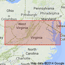
Named the Giesler limestone for Giesler Mill, Washington Co., VA. Consists of 175 feet of limestone that includes a few intercalated dolomitic layers. Some beds bear fossils characteristic of the middle and upper part of the Lenoir limestone. Unit overlies either the Tumbez limestone or the Mosheim limestone. The Giesler is of Middle Ordovician (Champlanian) age.
Source: GNU records (USGS DDS-6; Reston GNULEX).
For more information, please contact Nancy Stamm, Geologic Names Committee Secretary.
Asterisk (*) indicates published by U.S. Geological Survey authors.
"No current usage" (†) implies that a name has been abandoned or has fallen into disuse. Former usage and, if known, replacement name given in parentheses ( ).
Slash (/) indicates name conflicts with nomenclatural guidelines (CSN, 1933; ACSN, 1961, 1970; NACSN, 1983, 2005, 2021). May be explained within brackets ([ ]).