The National Geologic Map Database is migrating to a new infrastructure. We apologize for any service disruptions during this process.
|
|---|


- Usage in publication:
-
- Ghost Rocks Formation*
- Modifications:
-
- Named
- Dominant lithology:
-
- Sandstone
- Basalt
- Tuff
- AAPG geologic province:
-
- Alaska Southwestern region
- Kodiak province
Summary:
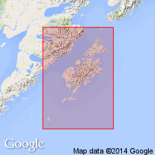
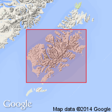
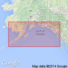
Named for Ghost Rocks, southeast coast of Kodiak Island. Type section designated as exposures along north coast of Sitkalidak Island directly opposite Ghost Rocks across Sitkalidak Strait and extending from Amee Bay to McDonald Lagoon, southwestern AK. Crops out in belt about 10 km wide near southeast shore of Kodiak Island and through middle of Sitkalidak Island. Consists of zeolite-bearing tuffaceous sandstone, basalt, hard claystone, and tuff. Appears to be approximately 5000 ft thick. Is in fault contact with underlying Kodiak Formation (new) and overlying Sitkalidak Formation (new). Stratigraphic relations and correlations with nearby intrusive rocks of known age suggest unit straddles boundary between Paleocene and Eocene ages.
Source: GNU records (USGS DDS-6; Menlo GNULEX).
- Usage in publication:
-
- Ghost Rocks Formation
- Modifications:
-
- Biostratigraphic dating
- AAPG geologic province:
-
- Alaska Southwestern region
- Kodiak province
Summary:
Fossiliferous limestone locally associated with igneous rocks of Ghost Rocks Formation contain planktonic foraminifers of Late Cretaceous age at some localities and of Paleocene age at other localities. Sketch map and cross-section of Jap Bay area show structural variations.
Source: GNU records (USGS DDS-6; Menlo GNULEX).
- Usage in publication:
-
- Ghost Rocks Formation*
- Modifications:
-
- Age modified
- AAPG geologic province:
-
- Alaska Southwestern region
- Kodiak province
Summary:
Unit age revised from Cretaceous and Paleocene to: Late Cretaceous and Paleocene.
Source: GNU records (USGS DDS-6; Menlo GNULEX).
For more information, please contact Nancy Stamm, Geologic Names Committee Secretary.
Asterisk (*) indicates published by U.S. Geological Survey authors.
"No current usage" (†) implies that a name has been abandoned or has fallen into disuse. Former usage and, if known, replacement name given in parentheses ( ).
Slash (/) indicates name conflicts with nomenclatural guidelines (CSN, 1933; ACSN, 1961, 1970; NACSN, 1983, 2005, 2021). May be explained within brackets ([ ]).