- Usage in publication:
-
- Geuda Springs shale member
- Modifications:
-
- Original reference
- Dominant lithology:
-
- Shale
- AAPG geologic province:
-
- Nemaha anticline
Summary:
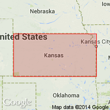
Pg. 5, 12-14. Geuda Springs shale member of Wellington formation. Thick sequence of drab and bluish-gray shales and clays and anhydrite. Not well exposed; only a few feet at any one place. Thickness 230 feet (based on core sample). Includes three claystone layers which occasionally become limestones and can be traced for some distance along the strike; these are here named Prairie Creek, Sanitorium, and Udall limestone lentils. Underlies Annelly gypusm member (new); overlies Hollenberg limestone member (new). Age is Permian.
Type locality: at sanitorium 0.5 mi east of Geuda Springs, in sec. 7, T. 34 S., R. 3 E., [Cowley Co.], eastern KS.
Source: US geologic names lexicon (USGS Bull. 1200, p. 1501).
For more information, please contact Nancy Stamm, Geologic Names Committee Secretary.
Asterisk (*) indicates published by U.S. Geological Survey authors.
"No current usage" (†) implies that a name has been abandoned or has fallen into disuse. Former usage and, if known, replacement name given in parentheses ( ).
Slash (/) indicates name conflicts with nomenclatural guidelines (CSN, 1933; ACSN, 1961, 1970; NACSN, 1983, 2005, 2021). May be explained within brackets ([ ]).

