The National Geologic Map Database is migrating to a new infrastructure. We apologize for any service disruptions during this process.
|
|---|


- Usage in publication:
-
- Gerster formation*
- Modifications:
-
- Original reference
- Dominant lithology:
-
- Limestone
- AAPG geologic province:
-
- Great Basin province
Summary:
Pg. 421-432. Gerster formation. Largely thin-bedded sandy and shaly limestones, brownish gray on fresh surfaces but weathering yellowish brown or pink. Beds usually 2 inches to 1 foot thick. Locally thin beds of sandstone occur, and in most exposures moderately thick beds of cherty limestone are present. Overlies Oquirrh formation with sharp contact. Thickness 600 feet. Contains Permian fossils.
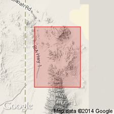
Named from exposures in Gerster Gulch, in northwestern corner of Gold Hill 15-min quadrangle [1975 ed.], Gold Hill district, Tooele Co., western UT.
[See also Nolan's USGS Prof. Paper 177, 1935.]
Source: US geologic names lexicon (USGS Bull. 896, p. 815).
- Usage in publication:
-
- Gerster Limestone*
- Modifications:
-
- Areal extent
- AAPG geologic province:
-
- Great Basin province
Summary:
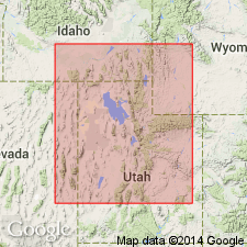
Also called Gerster Formation. Gerster Limestone of Park City Group recognized in northwest UT and northeast NV as uppermost formation of Park City throughout its areal extent. Is recognized in Terrace and Cedar Mountains, Gold Hill district, of western UT and in Leach and Pequop Mountains of northeast NV, Great Basin province. Tongues into Rex Chert Member of Phosphoria Formation south of Cassia Mountains, southern ID, Snake River basin. Is a cherty bioclastic limestone with minor beds of chert, dolomite, and siltstone. Crinoid and bryozoan fragments, and brachiopods make up much of the rock. Intervals of secondary chert replacing carbonate are present in Leach and Terrace Mountains, and could represent tongues of Murdock Mountain Formation (new, see Chapter B). Ranges between 43 m to 341 m in NV and UT. Of Permian age. Contains THAMNOSIA, KUVELOUSIA, and YAKOVEVIA zones of Wordian age [Early Permian age of USGS; Late Permian age of Furnish (1973)]. Overlies Murdock Mountain Formation (defined in Chapter B). Unconformably underlies Triassic rocks.
Source: GNU records (USGS DDS-6; Denver GNULEX).
For more information, please contact Nancy Stamm, Geologic Names Committee Secretary.
Asterisk (*) indicates published by U.S. Geological Survey authors.
"No current usage" (†) implies that a name has been abandoned or has fallen into disuse. Former usage and, if known, replacement name given in parentheses ( ).
Slash (/) indicates name conflicts with nomenclatural guidelines (CSN, 1933; ACSN, 1961, 1970; NACSN, 1983, 2005, 2021). May be explained within brackets ([ ]).