The National Geologic Map Database is migrating to a new infrastructure. We apologize for any service disruptions during this process.
|
|---|


- Usage in publication:
-
- Geertson formation
- Modifications:
-
- Named
- Dominant lithology:
-
- Shale
- Bentonite
- Sandstone
- Conglomerate
- Lignite
- AAPG geologic province:
-
- Idaho Mountains province
Summary:
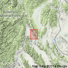
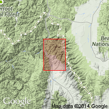
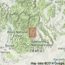
Named as a formation for Geertson Creek, Lemhi Co, ID in Idaho Mountains province. No type locality designated. Outcrops on both sides of the Lemhi Valley; more extensive exposures extend northwestward from Wimpey Creek to the northwest corner of the Baker quadrangle. Consists of some hundreds of feet of light-colored shaly beds with some intercalated bentonite, sandy shales, sandstone, and pebble conglomerate, and locally thin beds of impure lignite. Beds of pebble conglomerate are thin, discontinuous, but rather numerous and widespread northeast of Lemhi River; no such beds found southwest of the river. Some of the clay shales and lignitic beds are fossiliferous and contain leaf and stem fragments. Rests unconformably on each of the other Tertiary formations described in Baker quadrangle; is overlain unconformably by Carmen formation. Index map; geologic map. Age given as Late Oligocene?. Plant remains in Geertson but they were not studied.
Source: GNU records (USGS DDS-6; Denver GNULEX).
- Usage in publication:
-
- Geertson formation
- Modifications:
-
- Age modified
- AAPG geologic province:
-
- Idaho Mountains province
Summary:
Age changed from late Oligocene? to early Miocene. Is older than Kirtley Formation (middle Miocene). Differs from "type locality" as to lithologic content. Is almost entirely conglomerate with minor thin partings of sandy shale. Consists of rounded to subangular, poorly-sorted gravel and boulders in a cemented matrix of angular pebbles, sand, and silt. Derived from Swauger Quartzite. Weathers easily; outcrops rare; produces castellated outcrops. Thickness unknown. Estimated to be as much as 500 ft thick. Unconformably overlies Kriley and Kenney Formations and Challis Volcanics. Unconformably under Kirtley Formation. Not fossiliferous. Geologic map; cross sections.
Source: GNU records (USGS DDS-6; Denver GNULEX).
- Usage in publication:
-
- Geertson Formation†
- Modifications:
-
- Abandoned
Summary:
Cannot be recognized and consistently mapped in its type area, or in any area adjacent in the Lemhi Valley, Lemhi Co, ID, Idaho Mountains province. Name abandoned.
Source: GNU records (USGS DDS-6; Denver GNULEX).
For more information, please contact Nancy Stamm, Geologic Names Committee Secretary.
Asterisk (*) indicates published by U.S. Geological Survey authors.
"No current usage" (†) implies that a name has been abandoned or has fallen into disuse. Former usage and, if known, replacement name given in parentheses ( ).
Slash (/) indicates name conflicts with nomenclatural guidelines (CSN, 1933; ACSN, 1961, 1970; NACSN, 1983, 2005, 2021). May be explained within brackets ([ ]).