- Usage in publication:
-
- Gebo formation*
- Modifications:
-
- Named
- Dominant lithology:
-
- Shale
- Sandstone
- AAPG geologic province:
-
- Bighorn basin
Summary:
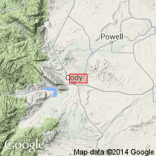
Named for town of Gebo near Thermopolis, south end of Bighorn basin, Hot Springs Co, WY. No type locality designated. Overlies Colorado formation. Underlies Meeteetse formation (new). Section 1,120 ft thick measured along the Shoshone River where formation described as including interbedded, buff, massive to thin-bedded sandstone and dark shale, and one thin gray to brown clay bed. Shale has thin coal beds. Some shale beds are carbonaceous. Basal and upper contacts placed at base of and at top of massive sandstones. As much as 1,430 ft thick south of river. Meager flows and a few invertebrate (mollusks) fossils; collection listed. Lower part correlated with the Eagle sandstone of MT. Marine origin. Stratigraphic chart and sections.
Source: GNU records (USGS DDS-6; Denver GNULEX).
For more information, please contact Nancy Stamm, Geologic Names Committee Secretary.
Asterisk (*) indicates published by U.S. Geological Survey authors.
"No current usage" (†) implies that a name has been abandoned or has fallen into disuse. Former usage and, if known, replacement name given in parentheses ( ).
Slash (/) indicates name conflicts with nomenclatural guidelines (CSN, 1933; ACSN, 1961, 1970; NACSN, 1983, 2005, 2021). May be explained within brackets ([ ]).

