- Usage in publication:
-
- Garo sandstone
- Modifications:
-
- Named
- Dominant lithology:
-
- Sandstone
- AAPG geologic province:
-
- South Park basin
Summary:
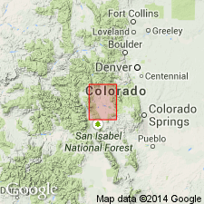
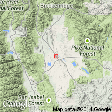
Named for town of Garo, sec 36, T11S, R76W, Park Co, CO in South Park basin. In previous reports, this formation has been included in underlying Maroon formation or in overlying Morrison formation. Crops out along west side of Dakota Hogback from T8S to T12S. Appears in a fault block north of Hartsel. Geologic map. Two measured sections: 1) NE1/4 sec 13, T10S, R77W--Garo is 20 ft thick; and 2) NW1/4 sec 36, T11S, R76W--Garo is 410 ft thick. Varies in thickness; is absent 1/4 mi southeast of Hartsel. Overlies Maroon formation unconformably at both sections. Underlies unconformably Morrison formation at no. 2. Composed of light-gray, brown to white, medium- to fine-grained sandstone. Some beds are cross-bedded. Some weather slabby. Barite present in some beds. Some yellowish-brown shaly lenses. Cement is usually calcareous. Can be friable. Probably of eolian origin. No fossils found. Considered Jurassic?
Source: GNU records (USGS DDS-6; Denver GNULEX).

- Usage in publication:
-
- Garo Sandstone
- Modifications:
-
- Age modified
- AAPG geologic province:
-
- South Park basin
Summary:
Name has been applied to a buff sandstone above the Permian upper part of the Maroon Formation and unconformably beneath the Jurassic Morrison Formation. Has a restricted areal extent being used only in South Park. Is unfossiliferous. Permian alga, RIVULARITES PERMIENSIS found 80 ft stratigraphically beneath Garo. Three measured sections. Is 62, 217, and 334 ft thick (north to south) in these sections. Consists of fine- to medium-grained, partly siliceous, calcareous, friable to moderately well cemented, cross laminated to cross-bedded, moderately to well sorted, subrounded to rounded, ridge-forming quartz sandstone. Has been thought to be Jurassic age and correlative with Entrada Sandstone. Overlaps Maroon to east. Farther east it rests on Precambrian. Assigned a Permian age in this report because 1) it has same environment of deposition as the Maroon, and 2) the thickness change from north to south is due to facies changes.
Source: GNU records (USGS DDS-6; Denver GNULEX).
For more information, please contact Nancy Stamm, Geologic Names Committee Secretary.
Asterisk (*) indicates published by U.S. Geological Survey authors.
"No current usage" (†) implies that a name has been abandoned or has fallen into disuse. Former usage and, if known, replacement name given in parentheses ( ).
Slash (/) indicates name conflicts with nomenclatural guidelines (CSN, 1933; ACSN, 1961, 1970; NACSN, 1983, 2005, 2021). May be explained within brackets ([ ]).

