

- Usage in publication:
-
- Garner formation
- Modifications:
-
- Principal reference
- AAPG geologic province:
-
- Fort Worth syncline
Summary:
Pg. 20, fig. 3, pl. 1. Garner formation. Underlies East Mountain formation; overlies Grindstone Creek formation. Type section established; section is chosen where the best and most nearly continuous exposure occurs; approximately basal 45 feet of formation not exposed at type section, and section does not exhibit a thin coal seam or lensing limestones present in other localities. Age is Middle Pennsylvanian. Rank designations suggested by Cheney (1940) are accepted in this paper.
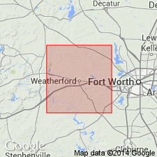
Type section: along the Millsap to Mineral Wells Highway as it ascends scarp 2.5 mi west of Millsap, Parker Co., north-central TX. Named from town of Garner [Parker Co., TX].
Source: US geologic names lexicon (USGS Bull. 1200, p. 1473).
For more information, please contact Nancy Stamm, Geologic Names Committee Secretary.
Asterisk (*) indicates published by U.S. Geological Survey authors.
"No current usage" (†) implies that a name has been abandoned or has fallen into disuse. Former usage and, if known, replacement name given in parentheses ( ).
Slash (/) indicates name conflicts with nomenclatural guidelines (CSN, 1933; ACSN, 1961, 1970; NACSN, 1983, 2005, 2021). May be explained within brackets ([ ]).