The National Geologic Map Database is migrating to a new infrastructure. We apologize for any service disruptions during this process.
|
|---|


- Usage in publication:
-
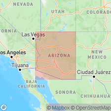
- Gardner Canyon Alloformation
- Modifications:
-
- Named
- AAPG geologic province:
-
- Basin-and-Range province
Summary:
Name applied to a sedimentary unit above the Sonoita surface. The type area is upper Sonoita Creek, Mexican Highland section, Santa Cruz Co, AZ, Basin-and-Range province. Was called upper basin-range fill and upper basin fill by earlier workers. [Name derived? from Gardner Canyon.] Overlies lower basin-range fill; rests on the Sonoita surface, a geomorphic surface which has been dated magnetostratigraphically as 5.8 to 2.5 or 2.0 m.y. Underlies the newly named Douglas Ranch Gravel (also called Douglas Ranch Alloformation). Is usually less than 100 m thick. Consists of sediments [definition inadequate: no lithologic description; areal distribution and contacts not completely discussed]. Probably equivalent to parts of the Fort Lowell, Saint David, and Gila Formations. Pliocene age.
Source: GNU records (USGS DDS-6; Denver GNULEX).
For more information, please contact Nancy Stamm, Geologic Names Committee Secretary.
Asterisk (*) indicates published by U.S. Geological Survey authors.
"No current usage" (†) implies that a name has been abandoned or has fallen into disuse. Former usage and, if known, replacement name given in parentheses ( ).
Slash (/) indicates name conflicts with nomenclatural guidelines (CSN, 1933; ACSN, 1961, 1970; NACSN, 1983, 2005, 2021). May be explained within brackets ([ ]).