The National Geologic Map Database is migrating to a new infrastructure. We apologize for any service disruptions during this process.
|
|---|


- Usage in publication:
-
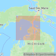
- Garden Island formation
- Modifications:
-
- Named
- Dominant lithology:
-
- Dolomite
- Limestone
- AAPG geologic province:
-
- Michigan basin
Summary:
Named the Garden Island formation for Garden Island, northeastern MI. Consists of dolomite and dolomitic limestone which occupies a position between Silurian St. Ignace formation and Middle Devonian Bois Blanc formation. Thickness at type locality is 3 feet; maximum thickness probably not more than 25 feet, and average thickness not more than 15 feet. The Garden Island is of Early Devonian age.
Source: GNU records (USGS DDS-6; Reston GNULEX).
For more information, please contact Nancy Stamm, Geologic Names Committee Secretary.
Asterisk (*) indicates published by U.S. Geological Survey authors.
"No current usage" (†) implies that a name has been abandoned or has fallen into disuse. Former usage and, if known, replacement name given in parentheses ( ).
Slash (/) indicates name conflicts with nomenclatural guidelines (CSN, 1933; ACSN, 1961, 1970; NACSN, 1983, 2005, 2021). May be explained within brackets ([ ]).