The National Geologic Map Database is migrating to a new infrastructure. We apologize for any service disruptions during this process.
|
|---|


- Usage in publication:
-
- Garden Gulch member*
- Modifications:
-
- Named
- Dominant lithology:
-
- Shale
- Marlstone
- Sandstone
- Siltstone
- AAPG geologic province:
-
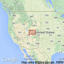
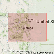
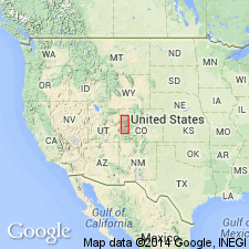
- Piceance basin
- Uinta basin
Summary:
Named as a member (one of four named members) of the Green River formation east of Bitter Creek, in Uinta Co, UT, for exposures in bluffs near mouth of Garden Gulch, tributary of Parachute Creek, secs 7 and 8, T6S, R96W, Garfield Co, CO in the Piceance basin. No type locality designated. Contrasts in color--gray--from the underlying newly named Douglas Creek member of the Green River which is yellowish brown or buff. Weathers as smooth slope or rounded discontinuous benches. Ranges from 200 ft thick in Hells Hole Canyon near Watson, UT, Uinta basin, to about 700 ft thick in Parachute Canyon, Garfield Co, CO. Characterized by paper chocolate brown (fresh) gray or buff (weathered) shale--laminae less than 1 mm thick which makes up 20-40 percent of the member and yields oil. Rest of member made of gray or buff (fresh) yellowish (weathered) thickly laminated marlstone, oolite beds and algae reefs. Locally has a few pale green-gray mudstone beds with maracite lenticules and concretions. Geologic map. Cross section. Columnar sections. Few fine-grained gray sandstone and siltstone beds, some with oscillation and current-ripple and cross-bedding. Abundant mudcracks. Fossiliferous: ostracodes, garpike scales, fish skeletons, plant stem and leaf impressions. Of middle Eocene age. Equivalent to lower part of delta facies of Green River in eastern UT.
Source: GNU records (USGS DDS-6; Denver GNULEX).
- Usage in publication:
-
- Garden Gulch Member
- Modifications:
-
- Revised
- AAPG geologic province:
-
- Piceance basin
Summary:
Revised in that the Eocene Garden Gulch Member of the Green River Formation overlies the newly named tongue, Piceance Creek Sandstone Tongue of the Anvil Points Member of the Green River Formation. New sandstone tongue recognized on east side of Piceance basin in Rio Blanco and Garfield Cos, CO and northward to the Gray Hills area in Moffat Co, CO in the Greater Green River basin. Northern limit of Garden Gulch not discussed. Farther eastward the Piceance Creek Tongue becomes the Anvil Points Member of the Green River. Westward the Garden Gulch overlies and intertongues with the Douglas Creek Member. Rocks of the Piceance Creek Tongue of this report were assigned to the Douglas Creek Member of the Green River in earlier reports. Nomenclature change made because Douglas Creek had a southwest and western source, whereas Anvil Points and Piceance Creek had an eastern source. Cross section. Eocene age.
Source: GNU records (USGS DDS-6; Denver GNULEX).
- Usage in publication:
-
- Garden Gulch Member*
- Modifications:
-
- Revised
- AAPG geologic province:
-
- Piceance basin
Summary:
Two newly named marker beds, Long Point Bed at the base and the Kimball Mountain Bed at the top, form the contacts of the Eocene Garden Gulch Member of Green River Formation in southwest part of the Piceance basin.
Source: GNU records (USGS DDS-6; Denver GNULEX).
For more information, please contact Nancy Stamm, Geologic Names Committee Secretary.
Asterisk (*) indicates published by U.S. Geological Survey authors.
"No current usage" (†) implies that a name has been abandoned or has fallen into disuse. Former usage and, if known, replacement name given in parentheses ( ).
Slash (/) indicates name conflicts with nomenclatural guidelines (CSN, 1933; ACSN, 1961, 1970; NACSN, 1983, 2005, 2021). May be explained within brackets ([ ]).