The National Geologic Map Database is migrating to a new infrastructure. We apologize for any service disruptions during this process.
|
|---|


- Usage in publication:
-
- Gannett group*
- Modifications:
-
- Named
- Dominant lithology:
-
- Conglomerate
- Limestone
- AAPG geologic province:
-
- Snake River basin
- Green River basin
Summary:
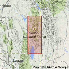
Named as a unit of group rank for Gannett Hills which lie in Bannock Co, ID and Lincoln Co, WY, of the Snake River basin and Greater Green River basin, respectively. No type locality designated. Divided into Ephraim conglomerate (at base), Peterson limestone, Bechler conglomerate, Draney limestone, and Tygee sandstone (top), all named in this report. Has a maximum thickness of more than 3,000 ft. Overlies Stump sandstone (new); underlies Wayan formation (new). Assigned to the Cretaceous?.
Source: GNU records (USGS DDS-6; Denver GNULEX).
- Usage in publication:
-
- Gannett Group
- Modifications:
-
- Revised
- AAPG geologic province:
-
- Green River basin
- Wasatch uplift
- Snake River basin
Summary:
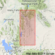
Divided (ascending) into the Ephraim Conglomerate, Peterson Limestone, Bechler Formation, Draney Limestone, and the newly named Smoot Formation. Name Smoot replaces use of informal term red mudstone. Upper contact of Gannett revised in that the sandstone formerly referred to as Tygee Sandstone is reassigned as the upper or sandstone part of Tygee Member of Bear River Formation. The black shale beneath the sandstone is newly assigned to the Tygee [name applied to the black shale in earlier reports not stated]. Cross sections. Gannett present in Bonneville (Snake River basin), Caribou and Bear Lake (Wasatch uplift) Cos, ID, and Lincoln and Uinta (Greater Green River basin) Cos, WY; all units assigned to Gannett are confined to thrust belt of southwest WY and southeast ID. Is thickest in southeast ID. Isopach maps show extent of each formation in group. Text gives detailed description of each formation. Measured section. Conformably overlies Stump Sandstone. Charophytes and nonmarine ostracods found in all formations of Gannett. Part of the Ephraim is probably Late Jurassic and part is earliest Cretaceous. Aptian charophytes present in Peterson, Bechler, Draney, and lower part of Smoot. Upper Smoot is Albian age. Smoot probably spans the Aptian-Albian boundary. Age of group is Neocomian and Aptian, Early Cretaceous.
Source: GNU records (USGS DDS-6; Denver GNULEX).
- Usage in publication:
-
- Gannett Group*
- Modifications:
-
- Overview
- AAPG geologic province:
-
- Green River basin
Summary:
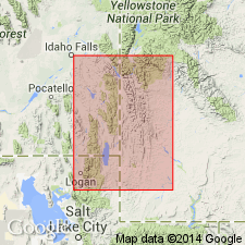
In the central part of the western WY thrust belt in the Greater Green River basin, Lower Cretaceous Gannett Group underlies Smiths Formation (a new name) of the western sequence--replaces Tygee Sandstone (abandoned in this report; formerly the upper formation of the Gannett), and the Gannett underlies Bear River Formation of the eastern sequence. A new name, Blind Bull Formation, replaces use of "Adaville-Frontier" as a name for the undivided Upper Cretaceous in the north and northeast part of the thrust belt.
Source: GNU records (USGS DDS-6; Denver GNULEX).
For more information, please contact Nancy Stamm, Geologic Names Committee Secretary.
Asterisk (*) indicates published by U.S. Geological Survey authors.
"No current usage" (†) implies that a name has been abandoned or has fallen into disuse. Former usage and, if known, replacement name given in parentheses ( ).
Slash (/) indicates name conflicts with nomenclatural guidelines (CSN, 1933; ACSN, 1961, 1970; NACSN, 1983, 2005, 2021). May be explained within brackets ([ ]).