The National Geologic Map Database is migrating to a new infrastructure. We apologize for any service disruptions during this process.
|
|---|


- Usage in publication:
-
- Gallia Sand, Sand Member
- Modifications:
-
- Overview
- AAPG geologic province:
-
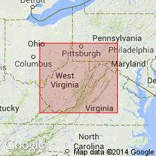
- Appalachian basin
Summary:
In OH, the sand underlying the Minford is frequently referred to as the "Gallia Sand." [No references supplied for this term.] "Since both the Gallia Sand and the Minford Clay were deposited prior to or during the Lake Tight period in the Teays Valley, they are commonly grouped and classified as Teays Formation." [Unit is not described in this report.]
Source: GNU records (USGS DDS-6; Reston GNULEX).
- Usage in publication:
-
- Gallia Sand Member
- Modifications:
-
- Overview
- Dominant lithology:
-
- Sand
- AAPG geologic province:
-
- Appalachian basin
Summary:
Gallia Sand Member of Teays Formation underlies Minford Silt Member. [Unit is not described in this report.]
Source: GNU records (USGS DDS-6; Reston GNULEX).
For more information, please contact Nancy Stamm, Geologic Names Committee Secretary.
Asterisk (*) indicates published by U.S. Geological Survey authors.
"No current usage" (†) implies that a name has been abandoned or has fallen into disuse. Former usage and, if known, replacement name given in parentheses ( ).
Slash (/) indicates name conflicts with nomenclatural guidelines (CSN, 1933; ACSN, 1961, 1970; NACSN, 1983, 2005, 2021). May be explained within brackets ([ ]).