The National Geologic Map Database is migrating to a new infrastructure. We apologize for any service disruptions during this process.
|
|---|


- Usage in publication:
-
- Fullington shales
- Modifications:
-
- Original reference
- Dominant lithology:
-
- Shale
- AAPG geologic province:
-
- Anadarko basin
Cragin, F.W., 1895, A study of the Belvidere beds: American Geologist, v. 16, p. 357-385.
Summary:
Pg. 361, 379. Fullington shales. Zone of GRYPHAEA ROEMERI, constituting lower and major part of Kiowa shales. Divided into Blue Cut shales, or zone of typical and abundant G. ROEMERI above, and Black Hill shale or Wafer shale below. Underlies Tucumcari shales and overlies Champion shell bed. Age is Early Cretaceous (Comanche).
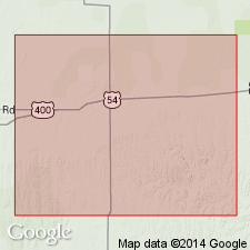
[Named from Fullington Ranch, at Belividere, Kiowa Co., central southern KS.]
Source: US geologic names lexicon (USGS Bull. 896, p. 786).
- Usage in publication:
-
- Fullington shale
- Modifications:
-
- Not used
Summary:
Appendix B, Catalog of Mesozoic nomenclature for Kansas. Fullington Shale of Cragin (1895). Term used for lower part of Kiowa, in turn subdivided into Black Hill and Blue Cut Shales.
Source: Publication.
For more information, please contact Nancy Stamm, Geologic Names Committee Secretary.
Asterisk (*) indicates published by U.S. Geological Survey authors.
"No current usage" (†) implies that a name has been abandoned or has fallen into disuse. Former usage and, if known, replacement name given in parentheses ( ).
Slash (/) indicates name conflicts with nomenclatural guidelines (CSN, 1933; ACSN, 1961, 1970; NACSN, 1983, 2005, 2021). May be explained within brackets ([ ]).