

- Usage in publication:
-
- Fulda limestone
- Modifications:
-
- Original reference
- AAPG geologic province:
-
- Illinois basin
Summary:
Pg. 87 (fig. 1), 88-89. Fulda limestone of Mansfield group. Dark-blue-gray dense pure brittle, sparsely fossiliferous limestone. Thickness 2.5 feet. Occurs near top of group about 15 feet below Ferdinand limestone (new). Age is Pennsylvanian (Pottsville).
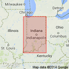
Named from exposures along road between Fulda and New Boston, eastern Spencer Co., southwestern IN.
Source: US geologic names lexicon (USGS Bull. 1200, p. 1440).
For more information, please contact Nancy Stamm, Geologic Names Committee Secretary.
Asterisk (*) indicates published by U.S. Geological Survey authors.
"No current usage" (†) implies that a name has been abandoned or has fallen into disuse. Former usage and, if known, replacement name given in parentheses ( ).
Slash (/) indicates name conflicts with nomenclatural guidelines (CSN, 1933; ACSN, 1961, 1970; NACSN, 1983, 2005, 2021). May be explained within brackets ([ ]).