

- Usage in publication:
-
- Friendsville formation
- Modifications:
-
- [First used]
- AAPG geologic province:
-
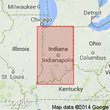
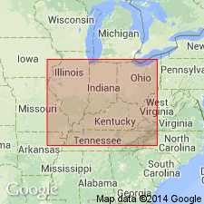
- Illinois basin
Summary:
Friendsville formation. Present in Indiana. Age is Pennsylvanian. See entry under St. Wendell sandstone.
Source: US geologic names lexicon (USGS Bull. 896, p. 781).
- Usage in publication:
-
- Friendsville formation
- Modifications:
-
- Overview
- AAPG geologic province:
-
- Illinois basin
Summary:
Pg. 84. Friendsville formation. Division of post-Alleghenian in western Indiana between McClearys Bluff above and St. Wendells formations, which is supposed to include Friendsville coal, Wabash County, Illinois; correlations between Friendsville and southwestern Indiana may have been erroneous, and Friendsville coal may be higher than its supposed equivalent in Indiana.
Source: US geologic names lexicon (USGS Bull. 1200, p. 1432).
For more information, please contact Nancy Stamm, Geologic Names Committee Secretary.
Asterisk (*) indicates published by U.S. Geological Survey authors.
"No current usage" (†) implies that a name has been abandoned or has fallen into disuse. Former usage and, if known, replacement name given in parentheses ( ).
Slash (/) indicates name conflicts with nomenclatural guidelines (CSN, 1933; ACSN, 1961, 1970; NACSN, 1983, 2005, 2021). May be explained within brackets ([ ]).