

- Usage in publication:
-
- Friant formation
- Modifications:
-
- First used
- Dominant lithology:
-
- Sand
- Gravel
- Tuff
- Silt
- Clay
- Conglomerate
- AAPG geologic province:
-
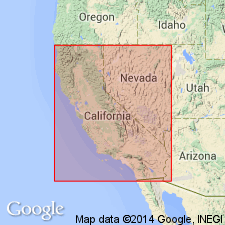
- San Joaquin basin
Summary:
Occurs to south and southeast of Friant dam site in thin veneer at elevations above San Joaquin River surface. Sketch map legend shows unit is composed of sands, gravels, rhyolite tuff, silts, clays, pumiceous conglomerate with considerable iron cement. Overlies granite. Age given as Miocene.
Source: GNU records (USGS DDS-6; Menlo GNULEX).
- Usage in publication:
-
- Friant formation
- Modifications:
-
- Named
- Dominant lithology:
-
- Gravel
- Sand
- Silt
- Conglomerate
- AAPG geologic province:
-
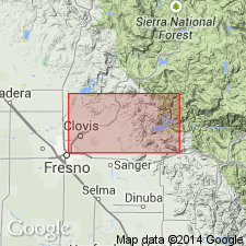
- San Joaquin basin
Summary:
Named for exposures in vicinity of Friant, Friant 7.5' quad, Fresno Co, CA. Typically exposed both east and west of San Joaquin River. [no reference made to Jones (1940)]. Unit outcrops continuously along banks of river from short distance north of Friant to Lanes Bridge and as far as Herndon. Also extends diagonally across Friant 7.5' quad and across northwestern corner of Academy 7.5' quad. Known to continue northward into Mariposa 7.5' quad. Consists of river-deposited gravels, sands, and silts, and conglomerate (southeast of Friant). Thickness is highly variable, from about 250 feet on Table Mountain to 320 feet near Little Dry Creek. Unconformably overlaps Ione Formation near southern end of Little Table Mountain; on eastern side of San Joaquin Valley overlies granitic rocks and crystalline schists. In some areas, is capped by basaltic lava flows. Age is tentatively set at early Miocene(?) based on stratigraphic relations.
Source: GNU records (USGS DDS-6; Menlo GNULEX).
- Usage in publication:
-
- Friant formation
- Modifications:
-
- Overview
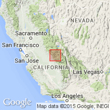
- AAPG geologic province:
-
- San Joaquin basin
Summary:
Friant formation is flat-lying and consists mostly of lacustrine and fluviatile deposits of silt, sand, gravel, and thinly layered pumicite. Detailed lithological description of pumicite and location of mines are given. Locally pumicite is at least 150 ft thick. Age of Friant formation is Pleistocene(?).
Source: GNU records (USGS DDS-6; Menlo GNULEX).
- Usage in publication:
-
- Friant Pumice Member*
- Modifications:
-
- Adopted
- Revised
- Geochronologic dating
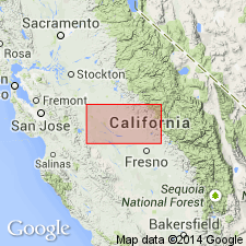
- AAPG geologic province:
-
- San Joaquin basin
Summary:
[Pumice of Friant Formation of Macdonald (1941) near Friant in Madera and Fresno Cos, CA] and as described by Janda (1966, PhD thesis) (see p.11) is adopted as Friant Pumice Member of Turlock Lake Formation (new). Occurs within and near base of upper unnamed unit of Turlock Lake Formation in eastern San Joaquin Valley (Janda 1965, 1966; Janda and Croft, 1967). In subsurface is believed to conformably overlie Corcoran Clay Member of Tulare Formation. K-Ar ages on sanidine corrected for new decay constant are 0.618 +/-0.31 and 0.612 +/-0.31 Ma (G.B. Dalrymple, oral commun., 1980). Original ages given in Janda (1965, 1966). Age is Pleistocene.
Source: GNU records (USGS DDS-6; Menlo GNULEX).
For more information, please contact Nancy Stamm, Geologic Names Committee Secretary.
Asterisk (*) indicates published by U.S. Geological Survey authors.
"No current usage" (†) implies that a name has been abandoned or has fallen into disuse. Former usage and, if known, replacement name given in parentheses ( ).
Slash (/) indicates name conflicts with nomenclatural guidelines (CSN, 1933; ACSN, 1961, 1970; NACSN, 1983, 2005, 2021). May be explained within brackets ([ ]).