

- Usage in publication:
-
- Fresnal Conglomerate
- Modifications:
-
- First used
- Dominant lithology:
-
- Conglomerate
- AAPG geologic province:
-
- Basin-and-Range province
Summary:
zzzzzPg. 93-94. Fresnal Conglomerate. Pebble- to boulder-size fragments. Interbedded andesites in upper part, possibly the "turkey track" andesite to which Cooper assigned a Miocene age. Thickness about 2,000 feet. Top of section in area under study. Rests unconformably on unit 2 which is composed of andesite, rhyolite, and breccia. Derived from older rocks. Age is Miocene. Report includes columnar section.
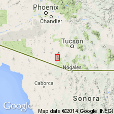
Type locality not designated. Present in Fresnal Canyon, Baboqivari Mountains, Pima Co., southeastern AZ.
Source: GNU records (USGS DDS-6; Denver GNULEX); US geologic names lexicon (USGS Bull. 1350, p. 276).
- Usage in publication:
-
- Fresnal Conglomerate
- Modifications:
-
- Overview
- AAPG geologic province:
-
- Basin-and-Range province
Summary:
Pg. I11. Unconformably overlies Chiuli Shaik Formation (new).
Source: US geologic names lexicon (USGS Bull. 1350, p. 276).
For more information, please contact Nancy Stamm, Geologic Names Committee Secretary.
Asterisk (*) indicates published by U.S. Geological Survey authors.
"No current usage" (†) implies that a name has been abandoned or has fallen into disuse. Former usage and, if known, replacement name given in parentheses ( ).
Slash (/) indicates name conflicts with nomenclatural guidelines (CSN, 1933; ACSN, 1961, 1970; NACSN, 1983, 2005, 2021). May be explained within brackets ([ ]).