

- Usage in publication:
-
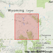
- Freezeout tongue
- Modifications:
-
- Named
- Dominant lithology:
-
- Shale
- AAPG geologic province:
-
- Green River basin
Summary:
Named as a tongue of the Chugwater formation for exposures in the Freezeout Hills, Albany Co, WY in the Greater Green River basin. Name applied to beds between the top of the Forelle limestone and the base of the Little Medicine tongue of the Dinwoody. Consists of red shales and a few beds of limestone, breccia, and gypsum. Can be identified with certainty in the Laramie basin and north into the Freezout Hills. No type locality designated. Measured section 110 ft thick near Difficulty P.O., Freezeout Hills, Carbon Co, described where the tongue consists of shale that may be red, gray, or variegated; two limestone beds--one white and crinkled, one gray and massive; one gypsum bed; and several breccia beds that have gray limestone fragments in a red shale matrix, or red shale and gray limestone fragments in a gray limestone matrix. Age not stated. [Freezeout is probably Permian and Triassic because of its intertonguing relationship with both Phosphoria and Dinwoody.]
Source: GNU records (USGS DDS-6; Denver GNULEX).
- Usage in publication:
-
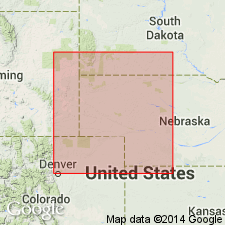
- Freezeout shale
- Modifications:
-
- Revised
- Areal extent
- AAPG geologic province:
-
- Denver basin
- Powder River basin
Summary:
Revised Freezeout shale to upper formation of Phosphoria group [intent to designate as a group not stated]. Recognized in sections from Owl Canyon, Larimer County, Colorado, to Laramie Range, Wyoming (Denver basin) and La Bonte Post Office [sec. 5, T. 29 N., R. 72 W.] Converse County, Wyoming (Powder River basin). Age is Permian. Report includes measured sections.
Source: Modified from GNU records (USGS DDS-6; Denver GNULEX).
- Usage in publication:
-
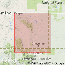
- Freezeout Shale Member*
- Modifications:
-
- Revised
- Overview
- Dominant lithology:
-
- Mudstone
- Siltstone
- Gypsum
- AAPG geologic province:
-
- Green River basin
Summary:
Reassigned as one of eight members of Goose Egg Formation in Carbon and Albany Cos, WY in the Greater Green River basin. Name restricted to the upper part of the Freezeout Tongue of Thomas (1934) that lies above the Ervay Member (newly assigned to the Goose Egg) and gradationally beneath the Little Medicine Member (newly assigned to the Goose Egg). Type section for the restricted Freezeout is in NE1/4 sec 2, T24N, R80W, one and a half mi northeast of Difficulty in the Freezeout Hills, Carbon Co. Is 35 ft at the type section of the restricted Freezeout. Ranges between 10 and 50 ft thick in southeast WY. Grades westward into yellowish calcareous siltstone of the lower part of Dinwoody Formation. Consists of moderate red-orange, parallel-laminated, thinly bedded mudstone and siltstone, and thin gypsum beds in upper part. Correlation chart; cross section. Early Triassic age.
Source: GNU records (USGS DDS-6; Denver GNULEX).
For more information, please contact Nancy Stamm, Geologic Names Committee Secretary.
Asterisk (*) indicates published by U.S. Geological Survey authors.
"No current usage" (†) implies that a name has been abandoned or has fallen into disuse. Former usage and, if known, replacement name given in parentheses ( ).
Slash (/) indicates name conflicts with nomenclatural guidelines (CSN, 1933; ACSN, 1961, 1970; NACSN, 1983, 2005, 2021). May be explained within brackets ([ ]).