

- Usage in publication:
-
- Freedom formation
- Modifications:
-
- Named
- Dominant lithology:
-
- Dolomite
- Iron-formation
- AAPG geologic province:
-
- Wisconsin arch
Summary:
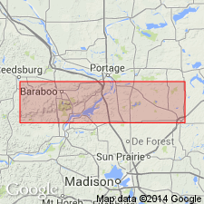
Freedom formation described in south-central WI. Upper part consists 500 ft of dolomite. Lower part is 450 to 500 ft of iron ore, ferruginous slates, ferruginous dolomite and ferruginous chert. Appears to grade into underlying Seeley slate and to lie unconformably below Potsdam sandstone. Does not outcrop. Found only by exploration southwest of North Freedom. Is known to cover 5 or 6 sq mi in secs. 2, 3, 9, 10, 11, 15, 16, and 20 of town of Freedom. Assigned to Precambrian.
Source: GNU records (USGS DDS-6; Reston GNULEX).
- Usage in publication:
-
- Freedom Formation
- Modifications:
-
- Overview
- Dominant lithology:
-
- Hematite
- Dolomite
- Chert
- AAPG geologic province:
-
- Wisconsin arch
Summary:
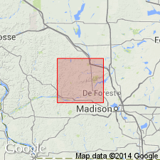
Freedom Formation known only from descriptions of mines and iron-exploration cores made early 1900's. No outcrops known, though cross section by Weidman (1904) shows exposure in railroad cut at Illinois Mine. Lower unit consists of hard and soft hematite, layered hematite and chert, granular hematite and chert, and mixed chert and carbonate with quartz, clay minerals, and iron silicates. Upper part of the formation consists largely of dolomite. Interbedded phyllite in lower part indicates that contact with the Seeley is gradational.
Source: GNU records (USGS DDS-6; Reston GNULEX).
For more information, please contact Nancy Stamm, Geologic Names Committee Secretary.
Asterisk (*) indicates published by U.S. Geological Survey authors.
"No current usage" (†) implies that a name has been abandoned or has fallen into disuse. Former usage and, if known, replacement name given in parentheses ( ).
Slash (/) indicates name conflicts with nomenclatural guidelines (CSN, 1933; ACSN, 1961, 1970; NACSN, 1983, 2005, 2021). May be explained within brackets ([ ]).