- Usage in publication:
-
- Freda sandstone*
- Modifications:
-
- Named
- Dominant lithology:
-
- Sandstone
- AAPG geologic province:
-
- Wisconsin arch
Summary:
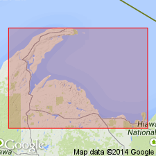
Named for exposures at new stamp mills at Freda, Houghton Co., upper peninsula of northwestern MI. Replaces lower part of Lake Superior sandstone of earlier reports or the part of that sandstone west of Copper Range. Consists of red sandstone with some felsitic and basic debris and salt water. Thickness is 900+(?) ft. Overlies Outer conglomerate; underlies Jacobsville sandstone. Age is Precambrian (upper Keweenawan).
Source: GNU records (USGS DDS-6; Reston GNULEX).
- Usage in publication:
-
- Freda sandstone
- Modifications:
-
- Revised
- AAPG geologic province:
-
- Wisconsin arch
Summary:
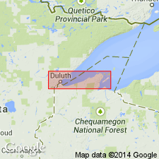
Freda sandstone assigned to Oronto Group which is named for exposures on Oronto Bay, Iron Co., northwestern WI. Occurs in Bayfield, Douglas, and Iron Cos. Consists of mostly nonmarine arkosic sandstones, conglomerates, and red shales. Thickness is about 21,500 ft. Top fixed at highest thick beds of red shales and well-marked arkosic sandstones. Conformably underlies Bayfield sandstone group; overlies middle and lower Keweenawan traps. No fossils present. Age is Precambrian (upper Keweenawan).
Source: GNU records (USGS DDS-6; Reston GNULEX).
- Usage in publication:
-
- Freda sandstone*
- Modifications:
-
- Overview
- AAPG geologic province:
-
- Wisconsin arch
Summary:
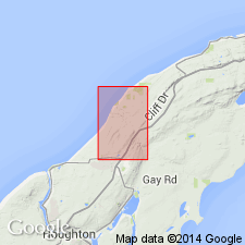
Freda sandstone is typically red, fine- to medium-grained with prominent white streaks and blotches. Contains minor amount of red shale and conglomerate. Lowermost 700 ft exposed in quad consists of light-gray, fine- to medium-grained sandstone with purple streaks. Total thickness where more fully exposed is about 5,000 ft. Boundary with underlying Nonesuch shale is transitional.
Source: GNU records (USGS DDS-6; Reston GNULEX).
- Usage in publication:
-
- Freda Formation*
- Modifications:
-
- Revised
- Dominant lithology:
-
- Siltstone
- Sandstone
- AAPG geologic province:
-
- Wisconsin arch
Summary:
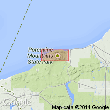
Named revised to Freda Formation due to change in lithologic description. To the west of Porcupine Mountains, Freda is inferred to be siltstone or siltstone and very fine-grained sandstone. Though poorly exposed, sparse exposures do confirm this.
Source: GNU records (USGS DDS-6; Reston GNULEX).
- Usage in publication:
-
- Freda Sandstone*
- Modifications:
-
- Revised
- Age modified
- AAPG geologic province:
-
- Wisconsin arch
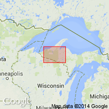
Summary:
Freda Sandstone assigned to Oronto Group which is in turn assigned to Keweenawan Supergroup (upper Keweenawan part). Age is Proterozoic Y.
Source: GNU records (USGS DDS-6; Reston GNULEX).
- Usage in publication:
-
- Freda Sandstone*
- Modifications:
-
- Overview
- AAPG geologic province:
-
- Lake Superior region
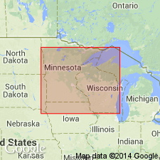
Summary:
Is upper unit of Oronto Group in northwestern WI in Lake Superior region. Is dominantly red-colored, clastic sedimentary rock of fluvial origin. Exhibits normal magnetic polarity. Conformably overlies Nonesuch Shale and in unconformably overlain by Orienta Sandstone of Bayfield Group. Lithologically similar to, but probably never part of Solor Church Formation of MN. Episode of clastic deposition constrained by K-Ar age of 1,062 +/-34 m.y. from biotite-bearing rhyolite stock near Bear Lake, MI that intrudes Freda Sandstone (White, 1968). Correlation chart. Is Middle Proterozoic in age.
Source: GNU records (USGS DDS-6; Denver GNULEX).
For more information, please contact Nancy Stamm, Geologic Names Committee Secretary.
Asterisk (*) indicates published by U.S. Geological Survey authors.
"No current usage" (†) implies that a name has been abandoned or has fallen into disuse. Former usage and, if known, replacement name given in parentheses ( ).
Slash (/) indicates name conflicts with nomenclatural guidelines (CSN, 1933; ACSN, 1961, 1970; NACSN, 1983, 2005, 2021). May be explained within brackets ([ ]).

