The National Geologic Map Database is migrating to a new infrastructure. We apologize for any service disruptions during this process.
|
|---|


- Usage in publication:
-
- Franklinville Gneiss
- Modifications:
-
- Named
- Dominant lithology:
-
- Gneiss
- AAPG geologic province:
-
- Piedmont-Blue Ridge province
Summary:
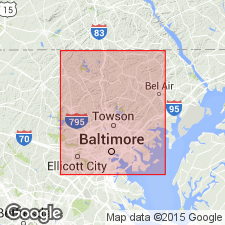
Name Franklinville Gneiss proposed for medium- to coarse-grained biotite-quartz-plagioclase gneiss that overlies Bradshaw Layered Amphibolite of the Baltimore Mafic Complex in a northeast-southwest syncline in White Marsh quad, Baltimore Co., MD. At Franklinville, rock contains sparse, and very small "mafic inclusions." However, 300 m north-northwest of the Franklinville bridge, unit includes cobble-size clasts of calc-silicate fels. Also includes several occurrences of deformed chlorite schist in zones up to 15 m across. Equivalent to Port Deposit Gneiss in adjacent Harford Co. Age given as Cambrian-Ordovician(?).
Source: GNU records (USGS DDS-6; Reston GNULEX).
For more information, please contact Nancy Stamm, Geologic Names Committee Secretary.
Asterisk (*) indicates published by U.S. Geological Survey authors.
"No current usage" (†) implies that a name has been abandoned or has fallen into disuse. Former usage and, if known, replacement name given in parentheses ( ).
Slash (/) indicates name conflicts with nomenclatural guidelines (CSN, 1933; ACSN, 1961, 1970; NACSN, 1983, 2005, 2021). May be explained within brackets ([ ]).