- Usage in publication:
-
- Frailes formation*
- Modifications:
-
- Named
- Biostratigraphic dating
- Dominant lithology:
-
- Conglomerate
- Shale
- Sandstone
- Graywacke
- Tuff
- Limestone
- AAPG geologic province:
-
- Caribbean region
Summary:
The Frailes formation, here named, consists of sedimentary rocks, including conglomerate, shale, sandstone, graywacke, and pyroclastic rocks, particularly a massive lapilli tuff. Prominent limestones in the lower and upper parts are named the La Muda limestone member and the Leprocomio limestone member. Dark-green lapilli tuff occurs between the two limestone members. Age is Late Cretaceous based on fossils.
Source: GNU records (USGS DDS-6; Reston GNULEX).

- Usage in publication:
-
- Frailes Formation*
- Modifications:
-
- Revised
- AAPG geologic province:
-
- Caribbean region
Summary:
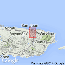
The Guaynabo Formation, named by Meyerhoff and Smith (1931) and revised by Kaye (1959), is here revised to include coarse-grained lapilli tuff mapped by Kaye as Frailes Formation. Kaye's Leprocomio Limestone Member at the top of his Frailes, is here revised as the Leprocomio Siltstone Member at the top of the Guaynabo. The part of Kaye's Frailes that overlaps the Tortugas Andesite is here considered to be part of the Tortugas. Kaye's La Muda Limestone Member of the Frailes is here revised as the La Muda Formation.
Source: GNU records (USGS DDS-6; Reston GNULEX).

- Usage in publication:
-
- Frailes Formation*
- Modifications:
-
- Revised
- AAPG geologic province:
-
- Caribbean region
Summary:
The Guaynabo Formation as used by Pease (1968) in the Aguas Buenas quad., PR, to include both the Guaynabo and Frailes of Kaye (1959), is here revised in the Gurabo quad. The name is not used and it is divided into several formations. The name Frailes is retained to describe beds continuous with beds at the type locality. Martin Gonzalez Lava Member of the Guaynabo is here raised to Martin Gonzalez Lava at formation rank. The Leprocomio Siltstone Member of the Guaynabo is here revised to Leprocomio Mudstone Member of the Frailes Formation.
Source: GNU records (USGS DDS-6; Reston GNULEX).

- Usage in publication:
-
- Frailes Formation*
- Modifications:
-
- Overview
- AAPG geologic province:
-
- Caribbean region
Summary:
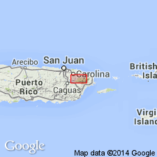
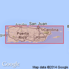
The Frailes Formation occurs in eastern Puerto Rico and consists of calcareous mudstone, volcaniclastic sandstone, conglomeratic sandstone, volcanic breccia, and locally, pillowed basaltic lava flows. Maximum estimated thickness is 1100 meters. The Frailes is of Late Cretaceous age.
Source: GNU records (USGS DDS-6; Reston GNULEX).
For more information, please contact Nancy Stamm, Geologic Names Committee Secretary.
Asterisk (*) indicates published by U.S. Geological Survey authors.
"No current usage" (†) implies that a name has been abandoned or has fallen into disuse. Former usage and, if known, replacement name given in parentheses ( ).
Slash (/) indicates name conflicts with nomenclatural guidelines (CSN, 1933; ACSN, 1961, 1970; NACSN, 1983, 2005, 2021). May be explained within brackets ([ ]).

