

- Usage in publication:
-
- Fortymile granite*
- Modifications:
-
- Named
- Dominant lithology:
-
- Granite
- Schist
- AAPG geologic province:
-
- Alaska East-Central region
Summary:
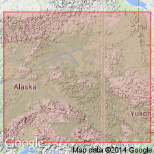
Occurs in belt several mi wide on Miller Creek trail between Fortymile and Sixtymile Creeks, Fortymile district, Yukon River, east-central AK. Rock is sometimes massive but usually gneissic or schistose structure and occasionally is altered into mica-schists. Underlies Birch Creek series (new). Is considered "by analogy with fundamental granites in other regions" to be Archean age.
Source: GNU records (USGS DDS-6; Menlo GNULEX).
For more information, please contact Nancy Stamm, Geologic Names Committee Secretary.
Asterisk (*) indicates published by U.S. Geological Survey authors.
"No current usage" (†) implies that a name has been abandoned or has fallen into disuse. Former usage and, if known, replacement name given in parentheses ( ).
Slash (/) indicates name conflicts with nomenclatural guidelines (CSN, 1933; ACSN, 1961, 1970; NACSN, 1983, 2005, 2021). May be explained within brackets ([ ]).