The National Geologic Map Database is migrating to a new infrastructure. We apologize for any service disruptions during this process.
|
|---|


- Usage in publication:
-
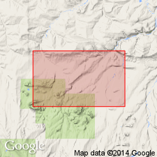
- Fortress Mountain formation*
- Modifications:
-
- Named
- Biostratigraphic dating
- Dominant lithology:
-
- Shale
- Graywacke
- AAPG geologic province:
-
- Alaska Northern region
Summary:
Named from exposures on Fortress Mountain (68 deg 34'30"N, 152 deg 58'W). Type section is composite of partial sections along Kiruktagiak River and on Castle Mountain [Chandler Lake quad] northern AK. Mapped over wide area in southern half of Foothills from Sagavanirktok River west beyond Kukpowruk River. Rocks formerly were coarse clastic rock facies of Torok formation of Gryc and others (1951). Consists of shale and large percentage of coarse graywacke sandstone and conglomerate. Composite type section is 10,000 ft thick. Locally disconformably overlies Okpikruak formation; at type overlies Tiglukpuk formation. Top part of Fortress Mountain formation has been eroded. Presumably underlies part of Torok formation or Nanushuk group. Age of rare fossils is late Early Cretaceous.
Source: GNU records (USGS DDS-6; Menlo GNULEX).
- Usage in publication:
-
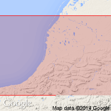
- Fortress Mountain formation*
- Modifications:
-
- Areal extent
- AAPG geologic province:
-
- Alaska Northern region
Summary:
Described in Utukok-Corwin region where unit is more than 4400 ft thick and consists mostly of marine shale, siltstone, graywacke sandstone, and some conglomerate. No distinct contact with overlying Torok formation exposed in area of geologic map of Utukok-Corwin area, northwestern AK. Base is not exposed. Age given as Early Cretaceous.
Source: GNU records (USGS DDS-6; Menlo GNULEX).
- Usage in publication:
-
- Fortress Mountain Formation*
- Modifications:
-
- Revised
- AAPG geologic province:
-
- Alaska Northern region
Summary:
Because lithology is quite different from type Fortress Mountain Formation, widespread unit of distinctive calcareous, micaceous graywacke is named Mount Kelly Graywacke Tongue of Fortress Mountain Formation. Fortress Mountain Formation [undivided] is restricted to sections of massive conglomerate, shale and noncalcareous, nonmicaceous graywacke and associated rhythmic turbidites.
Source: GNU records (USGS DDS-6; Menlo GNULEX).
- Usage in publication:
-
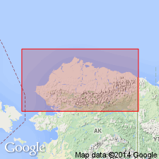
- Fortress Mountain Formation*
- Modifications:
-
- Areal extent
- Overview
- AAPG geologic province:
-
- Alaska Northern region
Summary:
Unit is geographically limited to southern foothills area. Laterally equivalent sandstone beds in subsurface of northern foothills are included within lower part of Torok Formation. Paper includes much data on depositional environment, paleocurrent directions, reservoir data, geochemical data for outcrop samples, petrographic analyses, provenance.
Source: GNU records (USGS DDS-6; Menlo GNULEX).
For more information, please contact Nancy Stamm, Geologic Names Committee Secretary.
Asterisk (*) indicates published by U.S. Geological Survey authors.
"No current usage" (†) implies that a name has been abandoned or has fallen into disuse. Former usage and, if known, replacement name given in parentheses ( ).
Slash (/) indicates name conflicts with nomenclatural guidelines (CSN, 1933; ACSN, 1961, 1970; NACSN, 1983, 2005, 2021). May be explained within brackets ([ ]).