

- Usage in publication:
-
- Fort Wallace ash bed
- Modifications:
-
- Original reference
- Dominant lithology:
-
- Volcanic ash
- AAPG geologic province:
-
- Anadarko basin
Summary:
Pg. 244 (fig. 1), 253-254. Fort Wallace ash bed of Ash Hollow member of Ogallala formation. Name applied to volcanic ash bed. At type locality 1.5 feet thick. Occurs 29 feet above Ogallala-Pierre shale contact and 65.5 feet below top of the "algal limestone." Lies stratigraphically above Rawlins ash bed (new) and below Fort Wallace ash bed (new). Age is Pliocene.
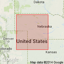
Named from exposures south of old Fort Wallace in tributary canyons along south side of Smoky Hill River valley, in west line of SW/4 sec. 7, T. 14 S., R. 38 W., Wallace Co., northwestern KS.
Source: US geologic names lexicon (USGS Bull. 1200, p. 1405).
- Usage in publication:
-
- Fort Wallace bed
- Modifications:
-
- Areal extent
- AAPG geologic province:
-
- Anadarko basin
Summary:
Pg. 27-28, 82-83. Fort Wallce bed of Ash Hollow member of Ogallala formation. Volcanic ash, some silt and sand, thin but irregularly bedded, ash-gray, cemented in thin platy lentils. Thickness 1.5 feet. Known only from Wallace County, northwestern Kansas. At type locality, lies in middle part of Ash Hollow member, about 29 feet above sharp contact with underlying Pierre shale, and about 37 feet below contact with overlying Kimball member of Ogallala formation. Age is Pliocene.
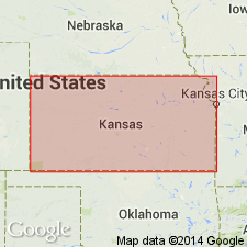
Measured section (type locality), in W/2 SW/4 sec. 7, T. 14 S., R. 38 W., Wallace Co., KS.
[GNC remark (ca. 2010): Ash Hollow Member later discarded by the Kansas Geol. Survey. See Ludvigson and others, 2009, Kansas Geol. Survey Bull., no. 256, pt. 2.]
Source: Publication.
For more information, please contact Nancy Stamm, Geologic Names Committee Secretary.
Asterisk (*) indicates published by U.S. Geological Survey authors.
"No current usage" (†) implies that a name has been abandoned or has fallen into disuse. Former usage and, if known, replacement name given in parentheses ( ).
Slash (/) indicates name conflicts with nomenclatural guidelines (CSN, 1933; ACSN, 1961, 1970; NACSN, 1983, 2005, 2021). May be explained within brackets ([ ]).