

- Usage in publication:
-
- Fort Russell till member
- Modifications:
-
- First used
- Dominant lithology:
-
- Till
- AAPG geologic province:
-
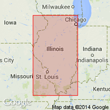
- Illinois basin
Summary:
[synopsis not included in GNU records (USGS DDS-6; Reston GNULEX).]
Source: GNU records (USGS DDS-6; Reston GNULEX).
- Usage in publication:
-
- Fort Russell till facies
- Modifications:
-
- Revised
- AAPG geologic province:
-
- Illinois basin
Summary:
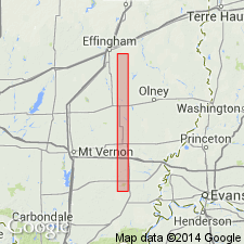
Glasford Formation in Effingham Co., IL, is divided into (ascending) Smithboro Till Member, Mulberry Grove Member, Fort Russell till facies of the Vandalia Till Member, and the Berry Clay Member. The Fort Russell has lithic parameters intermediate to that of the Smithboro and Vandalia Till Members. 23 ft of the Fort Russell till have been described by Kettles (1980) just west of the study area. This facies of the Vandalia is probably the dominant, uppermost Glasford till unit underlying most of Bishop Township.
Source: GNU records (USGS DDS-6; Reston GNULEX).
For more information, please contact Nancy Stamm, Geologic Names Committee Secretary.
Asterisk (*) indicates published by U.S. Geological Survey authors.
"No current usage" (†) implies that a name has been abandoned or has fallen into disuse. Former usage and, if known, replacement name given in parentheses ( ).
Slash (/) indicates name conflicts with nomenclatural guidelines (CSN, 1933; ACSN, 1961, 1970; NACSN, 1983, 2005, 2021). May be explained within brackets ([ ]).