The National Geologic Map Database is migrating to a new infrastructure. We apologize for any service disruptions during this process.
|
|---|


- Usage in publication:
-
- Fort Plain shale member
- Modifications:
-
- Revised
- AAPG geologic province:
-
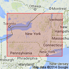
- Appalachian basin
Summary:
Pg. 119. Referred to as Fort Plain shale member of Canajoharie. Underlies Chuctenunda shale member. Age is Middle Ordovician.
Source: US geologic names lexicon (USGS Bull. 1200, p. 1398).
- Usage in publication:
-
- Fort Plain zone
- Modifications:
-
- Revised
- AAPG geologic province:
-
- Appalachian basin
Summary:
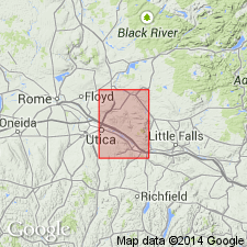
Pg. 57-58. Uppermost zone of Fairfield member [of Canajoharie formation]. Composed of silty shale at Canajoharie, but of black shale along West Canada Creek. Underlies Utica shale; overlies rocks of Dolgeville facies in Little Falls and southeastern Utica quadrangles. Thin metabentonite occurs just above contact with Dolgeville in stream south of County Home, Utica quadrangle; thickness of zone here at least 50 feet. Age is Middle Ordovician.
Source: US geologic names lexicon (USGS Bull. 1200, p. 1398).
For more information, please contact Nancy Stamm, Geologic Names Committee Secretary.
Asterisk (*) indicates published by U.S. Geological Survey authors.
"No current usage" (†) implies that a name has been abandoned or has fallen into disuse. Former usage and, if known, replacement name given in parentheses ( ).
Slash (/) indicates name conflicts with nomenclatural guidelines (CSN, 1933; ACSN, 1961, 1970; NACSN, 1983, 2005, 2021). May be explained within brackets ([ ]).