The National Geologic Map Database is migrating to a new infrastructure. We apologize for any service disruptions during this process.
|
|---|


- Usage in publication:
-
- Fort Pillow Sand*
- Modifications:
-
- Named
- Dominant lithology:
-
- Sand
- AAPG geologic province:
-
- Upper Mississippi embayment
Summary:
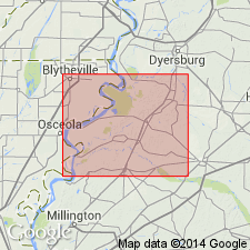
Fort Pillow Sand, middle formation of Wilcox Group, named in Lauderdale Co., west-central TN for old Civil War fort. Sand is a gray to orange, coarse-grained aquifer. Thickness 50 m. Overlies Old Breastworks Formation; underlies Flour Island Formation (both new). Age is early Eocene.
Source: GNU records (USGS DDS-6; Reston GNULEX).
- Usage in publication:
-
- Fort Pillow Sand*
- Modifications:
-
- Age modified
- AAPG geologic province:
-
- Upper Mississippi embayment
Summary:
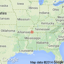
Age is Paleocene and early Eocene age at Memphis, Mississippi embayment, western Tennessee (table 1). Reasons for this age assignment not provided. [Fort Pillow considered early Eocene by Moore (1969).]
Source: Modified from GNU records (USGS DDS-6; Reston GNULEX).
- Usage in publication:
-
- Fort Pillow Sand*
- Modifications:
-
- Areal extent
- Age modified
- AAPG geologic province:
-
- Upper Mississippi embayment
Summary:
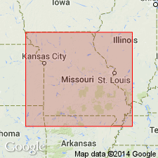
Unit is geographically extended from western TN into southeastern MO. Age changed from Paleocene and early Eocene to late Paleocene.
Source: GNU records (USGS DDS-6; Reston GNULEX).
- Usage in publication:
-
- Fort Pillow Sand*
- Modifications:
-
- Areal extent
- AAPG geologic province:
-
- Upper Mississippi embayment
Summary:
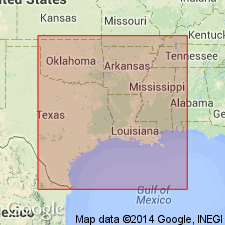
Fort Pillow Sand, along with Flour Island and Old Breastworks Formations, all of Wilcox Group, are extended into northeastern AR. Wilcox Group overlies Porters Creek Clay of Midway Group; underlies Memphis Sand of Claiborne Group.
Source: GNU records (USGS DDS-6; Reston GNULEX).
For more information, please contact Nancy Stamm, Geologic Names Committee Secretary.
Asterisk (*) indicates published by U.S. Geological Survey authors.
"No current usage" (†) implies that a name has been abandoned or has fallen into disuse. Former usage and, if known, replacement name given in parentheses ( ).
Slash (/) indicates name conflicts with nomenclatural guidelines (CSN, 1933; ACSN, 1961, 1970; NACSN, 1983, 2005, 2021). May be explained within brackets ([ ]).