The National Geologic Map Database is migrating to a new infrastructure. We apologize for any service disruptions during this process.
|
|---|


- Usage in publication:
-
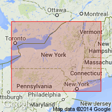
- Fort Edward Dolostone Member
- Modifications:
-
- Named
- Dominant lithology:
-
- Dolostone
- AAPG geologic province:
-
- New England province
Summary:
Named the Fort Edward Dolostone Member of the Great Meadows Formation in northeastern NY and VT for village of Fort Edward, Washington Co., NY. Consists of medium- to thick-bedded, mottled, vermicular, fossiliferous, quartzose and calcitic dolostone. Thickness is 18.2 to 45.5 meters. Gradationally overlies the Winchell Creek Siltstone Member and abruptly underlies the Smith Basin Limestone Member, both of the Great Meadows Formation. The Fort Edward is of Early Ordovician age.
Source: GNU records (USGS DDS-6; Reston GNULEX).
For more information, please contact Nancy Stamm, Geologic Names Committee Secretary.
Asterisk (*) indicates published by U.S. Geological Survey authors.
"No current usage" (†) implies that a name has been abandoned or has fallen into disuse. Former usage and, if known, replacement name given in parentheses ( ).
Slash (/) indicates name conflicts with nomenclatural guidelines (CSN, 1933; ACSN, 1961, 1970; NACSN, 1983, 2005, 2021). May be explained within brackets ([ ]).