

- Usage in publication:
-
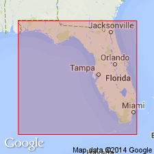
- Fort Denaud member
- Modifications:
-
- [Incidental mention]
- AAPG geologic province:
-
- Florida platform
Summary:
Pg. 192 (table 1). Fort Denaud member of Caloosahatchee marl. Table shows Fort Denaud as lowermost member of Caloosahatchee. Underlies Bee Branch limestone member (new); overlies Tamiami formation. [Age is Pleistocene.]
Source: US geologic names lexicon (USGS Bull. 1200, p. 1393).
- Usage in publication:
-
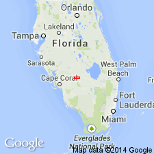
- Fort Denaud member
- Modifications:
-
- Principal reference
- Dominant lithology:
-
- Marl
- AAPG geologic province:
-
- Florida platform
Summary:
Pg. 136 (fig. 4), 139-143. Fort Denaud member of Caloosahatchee marl. Typically strata are light colored, with cream, white, and light gray predominating, although some units are mottled yellow brown. Composed of sanely and silty marls, soft and relatively unconsolidated; near Ortona Locks in Hendry County, a thin hard calcareous sandstone almost barren of fossils forms slight ledge at or below water level. Several units (faunizones) and numerous facies are recognized; includes (ascending) CYRTOPLEURA COSTATA faunizone, basal oyster biostrome, and a brackish-water bed characterized by RANGIA NASUTA. Exposed thickness rarely exceeds 5 feet and commonly is less, although locally may be as much as 8 feet. Base of lower beds observed only where Caloosahatchee marl laps onto erosional remnants of Tamiami formation. Underlies Bee Branch member; where erosion has been intense, mem!Jer is unconformable below Fort Thompson or Pamlico formation. [Age is Pleistocene.]
Named from exposures along stretch of Caloosahatchee River extending between point 0.5 mi and 3.5 mi upstream from Fort Denaud in Hendry Co., southern FL.
Source: US geologic names lexicon (USGS Bull. 1200, p. 1393).
- Usage in publication:
-
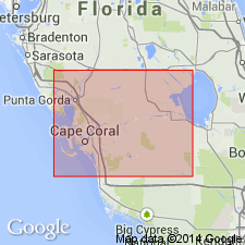
- Fort Denaud Member
- Modifications:
-
- Age modified
- AAPG geologic province:
-
- Florida platform
Summary:
Age of Fort Denaud Member of Caloosahatchee Formation in southern FL given as late Pliocene.
Source: GNU records (USGS DDS-6; Reston GNULEX).
For more information, please contact Nancy Stamm, Geologic Names Committee Secretary.
Asterisk (*) indicates published by U.S. Geological Survey authors.
"No current usage" (†) implies that a name has been abandoned or has fallen into disuse. Former usage and, if known, replacement name given in parentheses ( ).
Slash (/) indicates name conflicts with nomenclatural guidelines (CSN, 1933; ACSN, 1961, 1970; NACSN, 1983, 2005, 2021). May be explained within brackets ([ ]).