The National Geologic Map Database is migrating to a new infrastructure. We apologize for any service disruptions during this process.
|
|---|


- Usage in publication:
-
- Fork Mountain formation
- Modifications:
-
- Named
- Dominant lithology:
-
- Schist
- AAPG geologic province:
-
- Piedmont-Blue Ridge province
Summary:
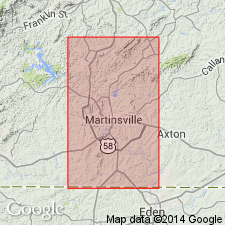
Fork Mountain formation is here named in the Smith River Allochthon of south-central VA. Described as gray mica schist with thin lenses of quartzite and micaceous gneiss. Age is Precambrian.
Source: GNU records (USGS DDS-6; Reston GNULEX).
- Usage in publication:
-
- Fork Mountain Formation
- Modifications:
-
- Overview
- AAPG geologic province:
-
- Piedmont-Blue Ridge province
Summary:
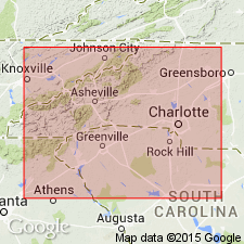
Fork Mountain Formation of Conley and Henika (1973) structurally and stratigraphically(?) overlies the Bassett Formation in southern VA. Unit is composed of a garnetiferous mica schist on the northwest side of the Smith River allochthon and a biotite gneiss on the southeast side. The garnetiferous mica schist is composed mainly of muscovite, quartz, garnet, and staurolite or sillimanite. The biotite gneiss is medium-gray, compositionally banded, and composed of interlayered quartzofeldspathic gneiss and garnetiferous muscovite-biotite gneiss. A "mica schist and gneiss unit" mapped by Lewis (1980) in NC may be equivalent to the Fork Mountain.
Source: GNU records (USGS DDS-6; Reston GNULEX).
For more information, please contact Nancy Stamm, Geologic Names Committee Secretary.
Asterisk (*) indicates published by U.S. Geological Survey authors.
"No current usage" (†) implies that a name has been abandoned or has fallen into disuse. Former usage and, if known, replacement name given in parentheses ( ).
Slash (/) indicates name conflicts with nomenclatural guidelines (CSN, 1933; ACSN, 1961, 1970; NACSN, 1983, 2005, 2021). May be explained within brackets ([ ]).