The National Geologic Map Database is migrating to a new infrastructure. We apologize for any service disruptions during this process.
|
|---|


- Usage in publication:
-
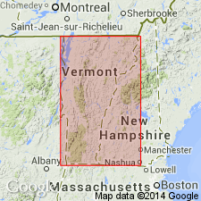
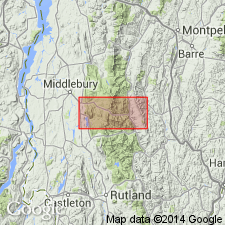
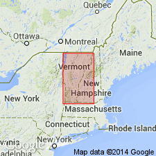
- Forestdale marble*
- Modifications:
-
- Named
- Dominant lithology:
-
- Marble
- AAPG geologic province:
-
- New England province
Summary:
Named the Forestdale marble for Forestdale, Rutland Co., VT. Consists of massive marble, greatly metamorphosed in most localities, with growth of many silicate minerals. Colors range from white to light gray, buff, and cream mottled; usually weathers reddish brown. Thickness ranges from a minimum of 200 feet northeast of Brandon, to nearly 2 or 3 times thicker to the southeast; unit thins again east of Rutland. Overlies the upper graywacke conglomerate of the Nickwaket graywacke and unconformably underlies the basal conglomerate of the overlying Cambrian section. Unit is considered older than the Moosalamoo phyllite, and is therefore of Precambrian age.
Source: GNU records (USGS DDS-6; Reston GNULEX).
- Usage in publication:
-
- Forestdale member
- Modifications:
-
- Revised
- Age modified
- AAPG geologic province:
-
- New England province
Summary:
Reduced the rank of the Forestdale to the Forestdale member of the Mendon formation in VT. Unit is middle member of the Mendon and consists of buff to rusty-weathering, white to gray dolomite marble. Thickness ranges from a featheredge to 115 feet and occurs about 600 feet from base of the Mendon formation. Age is changed to Early Cambrian.
Source: GNU records (USGS DDS-6; Reston GNULEX).
- Usage in publication:
-
- Forestdale member
- Modifications:
-
- Revised
- AAPG geologic province:
-
- New England province
Summary:
Revised the Forestdale to the Forestdale member of the Underhill formation of the Camels Hump group. Consists of buff to rusty weathering sandy dolomite and limestone. Overlies the Pinnacle formation and underlies the Fairfield Pond member of the Underhill.
The Forestdale is of Early Cambrian age.
Source: GNU records (USGS DDS-6; Reston GNULEX).
For more information, please contact Nancy Stamm, Geologic Names Committee Secretary.
Asterisk (*) indicates published by U.S. Geological Survey authors.
"No current usage" (†) implies that a name has been abandoned or has fallen into disuse. Former usage and, if known, replacement name given in parentheses ( ).
Slash (/) indicates name conflicts with nomenclatural guidelines (CSN, 1933; ACSN, 1961, 1970; NACSN, 1983, 2005, 2021). May be explained within brackets ([ ]).