

- Usage in publication:
-
- Ford Lake Shale*
- Modifications:
-
- Named
- Biostratigraphic dating
- Dominant lithology:
-
- Shale
- Chert
- AAPG geologic province:
-
- Alaska East-Central region
Summary:
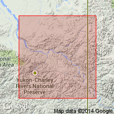
Named for exposures in type section, east and west banks of Yukon River from 2 mi east of Ford Lake to 2 mi northeast of Ford Lake, Eagle D-1 quad, east-central AK. Is grayish-black siliceous shale and laminated grayish-black chert about 1000 ft thick near type section and 2000 ft thick 4 mi north of Ford Lake. Near type section grades into overlying Upper Mississippian limestone of Calico Bluff Formation. In Step Mountain unconformably underlies Step Conglomerate of Permian age. Contact with underlying Upper Devonian Nation River Formation is not exposed. Fossils of Late Devonian or Early Mississippian age identified from lower part of formation at type locality. Age assigned is Late Devonian to Late Mississippian.
Source: GNU records (USGS DDS-6; Menlo GNULEX).
For more information, please contact Nancy Stamm, Geologic Names Committee Secretary.
Asterisk (*) indicates published by U.S. Geological Survey authors.
"No current usage" (†) implies that a name has been abandoned or has fallen into disuse. Former usage and, if known, replacement name given in parentheses ( ).
Slash (/) indicates name conflicts with nomenclatural guidelines (CSN, 1933; ACSN, 1961, 1970; NACSN, 1983, 2005, 2021). May be explained within brackets ([ ]).