

- Usage in publication:
-
- Folsomville Member
- Modifications:
-
- Named
- Dominant lithology:
-
- Mudstone
- Siltstone
- Sandstone
- AAPG geologic province:
-
- Illinois basin
Summary:
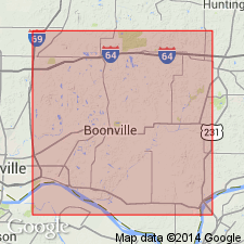
The term Folsomville Member of the Petersburg Formation is here proposed for the clastic beds that split the Springfield Coal Member (V) of the Petersburg into two or more coal seams in northern Warrick Co., IN. Where the upper seam of the coal is missing, the top of the Folsomville is the top of the Petersburg. It consists of rash, gray mudstone, siltstone, and sandstone, which is cross-bedded and coarser grained in the center of the channel. The Folsomville is 1 to 4 mi wide and up to 40 ft thick and represents a fluviochannel system that was partly contemporaneous with peat deposition. Age is Middle Pennsylvanian.
Source: GNU records (USGS DDS-6; Reston GNULEX).
- Usage in publication:
-
- Folsomville Member*
- Modifications:
-
- Overview
- AAPG geologic province:
-
- Illinois basin
Summary:
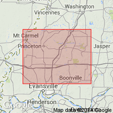
Springfield Coal Member of Petersburg Formation of Carbondale Group is split locally in Warrick and Gibson Cos., IN, by clastic rocks of Folsomville Member of Petersburg Formation.
Source: GNU records (USGS DDS-6; Reston GNULEX).
For more information, please contact Nancy Stamm, Geologic Names Committee Secretary.
Asterisk (*) indicates published by U.S. Geological Survey authors.
"No current usage" (†) implies that a name has been abandoned or has fallen into disuse. Former usage and, if known, replacement name given in parentheses ( ).
Slash (/) indicates name conflicts with nomenclatural guidelines (CSN, 1933; ACSN, 1961, 1970; NACSN, 1983, 2005, 2021). May be explained within brackets ([ ]).