- Usage in publication:
-
- Fly Pond member*
- Modifications:
-
- Named
- Dominant lithology:
-
- Calcsilicate
- Marble
- AAPG geologic province:
-
- New England province
Summary:
Fly Pond member of Putnam gneiss. Includes two distinct rock types: layered gray-green medium-grained granular calcsilicate rock, and dirty-white to green graphitic marble.
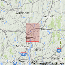
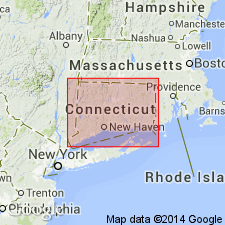
Named from exposures near Fly Pond, Norwich quadrangle, southeastern CT. Occurs in well-defined belt extending from Rogers Road to Colegrove Hill.
Source: US geologic names lexicon (USGS Bull. 1350, p. 262-263).
- Usage in publication:
-
- Fly Pond Member*
- Modifications:
-
- Revised
- Dominant lithology:
-
- Gneiss
- AAPG geologic province:
-
- New England province
Summary:
Pg. C3 (fig. 1), C5-C6. Fly Pond Member of Tatnic Hill Formation of Putnam Group. Reallocated to member status in Tatnic Hill Formation (new). Overlies unnamed member; underlies Yantic Member (new). In Tatnic Hill area, Fly Pond Member is about 600 feet thick, including about 200 feet of pegmatite. This thickness is relatively consistent to south, though Snyder (1961) showed rapid local thinning to 150 feet. To north, unit thins, and at north edge of Danielson quadrangle it is about 125 feet thick, of which about half is pegmatite. Member is dominantly medium-grained, light- to medium-gray diopside-hornblende-epidote-biotite-quartz-andesine gneiss. Locally lenses of mica schist or of sillimanite-biotite schist from 5 to 25 feet thick are interlayered with calcareous gneiss. Snyder mapped area of marble in Norwich area. Marble has not been found to the north.
Source: US geologic names lexicon (USGS Bull. 1350, p. 262-263).
- Usage in publication:
-
- Fly Pond Member*
- Modifications:
-
- Geochronologic dating
- AAPG geologic province:
-
- New England province
Summary:
Pg. D1, D6. Fly Pond Member of Tatnic Hill Formation. Implications of new radiometric ages in eastern Connecticut and Massachusetts. Tatnic Hill Formation, as well as equivalents and underlying rocks including Quinebaug Formation, is probably Middle Ordovician or older.
Source: US geologic names lexicon (USGS Bull. 1350, p. 262-263).
- Usage in publication:
-
- Fly Pond Member*
- Modifications:
-
- Geochronologic dating
- AAPG geologic province:
-
- New England province
Summary:
Pg. 16, geologic time scale (inside front cover). Fly Pond Member of Tatnic Hill Formation of Putnam Group. Sample from pegmatite, at Lat. 41 deg. 35 min. 26 sec. N., Long. 72 deg. 04 min. 58 sec. W., Norwich quadrangle, New London County, Connecticut, yielded Pb-alpha ages 535 +/-60 Ma (monazite-2), 525 +/-60 Ma (monazite-1), and 380 +/-45 Ma (zircon); reconnaissance ages. Ages published by Snyder (1964); recalculated using decay constants of Steiger and Jager, 1977 (Earth Planet. Sci. Letters, v. 36, p. 359-362).
Source: Publication.
- Usage in publication:
-
- Fly Pond Member*
- Modifications:
-
- Areal extent
- AAPG geologic province:
-
- New England province
Summary:
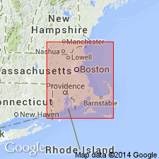
Tatnic Hill Formation and its Yantic and Fly Pond Members extended from CT to Webster area of MA according to work of Barosh (1977) and H.R. Dixon (unpub. data, 1978).
Source: GNU records (USGS DDS-6; Reston GNULEX).

- Usage in publication:
-
- Fly Pond Member*
- Modifications:
-
- Overview
- AAPG geologic province:
-
- New England province
Summary:
Used as Fly Pond Member of Tatnic Hill Formation of Proterozoic Z or Ordovician age. Consists of calc-silicate gneiss and marble.
Source: GNU records (USGS DDS-6; Reston GNULEX).
- Usage in publication:
-
- Fly Pond Member*
- Modifications:
-
- Overview
- AAPG geologic province:
-
- New England province
Summary:
Used as Fly Pond Member of Tatnic Hill Formation of Middle and Late(?) Ordovician age.
Source: GNU records (USGS DDS-6; Reston GNULEX).
For more information, please contact Nancy Stamm, Geologic Names Committee Secretary.
Asterisk (*) indicates published by U.S. Geological Survey authors.
"No current usage" (†) implies that a name has been abandoned or has fallen into disuse. Former usage and, if known, replacement name given in parentheses ( ).
Slash (/) indicates name conflicts with nomenclatural guidelines (CSN, 1933; ACSN, 1961, 1970; NACSN, 1983, 2005, 2021). May be explained within brackets ([ ]).

