

- Usage in publication:
-
- Floyds Knob formation
- Modifications:
-
- Named
- Dominant lithology:
-
- Limestone
- AAPG geologic province:
-
- Cincinnati arch
Summary:
Study of Borden rocks throughout unglaciated area of southern IN and incidental observation in adjacent part of KY, has revealed a persistent unit in upper part of Borden group that has served as vital key to subdividing the rocks and to properly associating uppermost Borden formations with overlying Harrodsburg and Salem limestones. The name Floyds Knob formation is being suggested for this formation. It exhibits several lithologic facies, the most common being limestone, which varies in trait from place to place. The name Goss Mill limestone is being suggested for this facies. Thickness is commonly 3 to 4 ft but at a few places it is as much as 8 ft or more. Various workers in IN have referred to the different limestone facies of Floyds Knob formation as Stevens Creek limestone, although the name has never been formally proposed in the literature. Preemption of the term by Stevens Creek slates of SC and confusion in interpretation of different beds that have been referred to same horizon in northern part of unglaciated area, preclude continuation of name Stevens Creek. (See Stockdale, 1931: IN Dept. Conservation, Division of Geology Pub. 98 for full description of Floyds Knob.)
Source: GNU records (USGS DDS-6; Reston GNULEX).
- Usage in publication:
-
- Floyds Knob formation
- Modifications:
-
- Revised
- Overview
- AAPG geologic province:
-
- Cincinnati arch
Summary:
Unit described as variable limestone 1 to 6 ft thick. Parts are finely granular, crystalline, and light gray. In places it is crinoidal and in others, oolitic, but it is always impure, sandy, and buff to chocolate colored. This limestone, which is an excellent key formation, has often been spoken of as the Stevens Creek limestone by workers in Indiana, although the name has never been definitely proposed. For Jefferson Co., KY, Butts erroneously referred to it as the "oolitic limestone" at the "base of the Warsaw." No name has been specifically proposed for it in the literature. Most IN workers entirely overlooked it. Locally, especially in the northern region, the calcareous condition continued well into Edwardsville time. This dominantly calcareous interval composes the Floyds Knob formation, which includes the following facies: Goss Mill limestone, Fordyce Knob sandstone, and Cisco Branch. At some exposures a single characteristic dominates the formation; at others, another trait is predominant; whereas at still others a combination characterizes the zone. Limestone has also been known by name Stobo limestone. Named for Floyds Knob, 0.75 mi east of post office of same name, 3 mi northwest of New Albany, IN, where formation is overlain by heavy angular sandstone bed and underlain by soft, massive siltstone of Carwood formation. Thickness 15 ft slightly west of old Stobo post office.
Source: GNU records (USGS DDS-6; Reston GNULEX).
- Usage in publication:
-
- Floyds Knob formation
- Modifications:
-
- Overview
- AAPG geologic province:
-
- Cincinnati arch
Summary:
Unit is key bed in subdividing the upper Borden rocks and correlating the units of southern IN with those of adjacent parts of KY. It exhibits several lithologic facies. The most common is limestone, which varies markedly from place to place. Throughout southern half of unglaciated IN outcrop belt, and in adjacent parts of Jefferson Co., KY, the formation varies from fairly pure crinoidal, oolitic, or crystalline rock to ferruginous siliceous limestone. Average thickness is 3 to 4 ft. Locally in southern IN, the formation is sandstone. North of T6N, IN, the formation is a peculiar mixture of calcareous, ferruginous cherty, shaly rock. Extending upward from this locally, and involving the basal portion of overlying Edwardsville formation, are the prominent bioherms of Edwardsville formation, mainly in Monroe and Morgan Cos., IN. Overlies Carwood formation. Age is Mississippian.
Source: GNU records (USGS DDS-6; Reston GNULEX).
- Usage in publication:
-
- Floyds Knob formation
- Modifications:
-
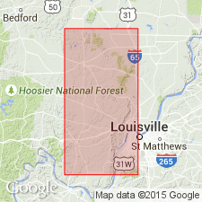
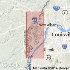
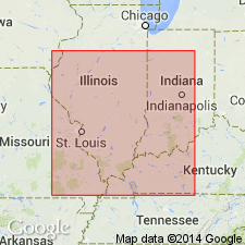
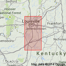
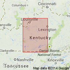
- Areal extent
- AAPG geologic province:
-
- Cincinnati arch
Summary:
Geographically extended across northern KY to the OH boundary. Thickness seldom over 5 ft; commonly only 1 or 2 ft. Overlies Brodhead formation (new); underlies Muldraugh formation (new). Age is Early Mississippian.
Source: GNU records (USGS DDS-6; Reston GNULEX).
- Usage in publication:
-
- Floyds Knob member
- Modifications:
-
- Revised
- AAPG geologic province:
-
- Cincinnati arch
Summary:
Rank of unit reduced to member. Assigned to Edwardsville formation.
Source: GNU records (USGS DDS-6; Reston GNULEX).
- Usage in publication:
-
- Floyds Knob Bed*
- Modifications:
-
- Revised
- AAPG geologic province:
-
- Cincinnati arch
Summary:
In north-central KY and southern IN, Floyds Knob Formation reduced in rank to Floyds Knob Bed and assigned to basal part of Muldraugh Member of Borden Formation. Floyds Knob Formation usage remains unchanged elsewhere in KY and IN. Age is Early Mississippian.
Source: GNU records (USGS DDS-6; Reston GNULEX).
- Usage in publication:
-
- Floyds Knob Bed
- Modifications:
-
- Revised
- AAPG geologic province:
-
- Cincinnati arch
Summary:
Floyds Knob Bed geographically extended from north-central KY into south-central KY. Reassigned from base of Muldraugh Member of Borden Formation to top of New Providence Shale Member of Fort Payne Formation. Usage of Floyds Knob Formation or Bed remains unchanged elsewhere in KY and in southern IN.
Source: GNU records (USGS DDS-6; Reston GNULEX).

- Usage in publication:
-
- Floyds Knob Limestone Member
- Modifications:
-
- Overview
- AAPG geologic province:
-
- Cincinnati arch
Summary:
IN State usage follows nomenclature of Nicoll and Rexroad (1975) in assigning Floyds Knob Limestone Member to the base of the Edwardsville Formation of the Borden Group. Unit is primarily a limestone as far north as Jackson Co., but farther north becomes slightly calcareous, shaly and arenaceous with many variations. Unit is conformable within the Borden Group, although there is some reworked material in its basal part and a bed of glauconite in many places marks the base of the overlying part of the Edwardsville. Conodonts indicate that unit is correlative with part of the Keokuk Limestone of the upper Mississippi Valley. Age is Early Mississippian (Valmeyeran).
Source: GNU records (USGS DDS-6; Reston GNULEX).
- Usage in publication:
-
- Floyds Knob Bed
- Modifications:
-
- Revised
- AAPG geologic province:
-
- Cincinnati arch
Summary:
Floyds Knob Bed of this report marks the top of the Grainger Formation and is included in it. Underlies lower member of Newman Limestone. Bed has been recognized in TN, throughout much of KY, and in southern IN. Characterized by abundant glauconite. Interval identified by Englund (1964) as Fort Payne Chert. Well-exposed outcrop occurs along U.S. Hwy 25-E on the Cumberland Mountain escarpment above the Cudjos Cave fault.
Source: GNU records (USGS DDS-6; Reston GNULEX).
For more information, please contact Nancy Stamm, Geologic Names Committee Secretary.
Asterisk (*) indicates published by U.S. Geological Survey authors.
"No current usage" (†) implies that a name has been abandoned or has fallen into disuse. Former usage and, if known, replacement name given in parentheses ( ).
Slash (/) indicates name conflicts with nomenclatural guidelines (CSN, 1933; ACSN, 1961, 1970; NACSN, 1983, 2005, 2021). May be explained within brackets ([ ]).