- Usage in publication:
-
- Floyd shales*
- Modifications:
-
- Named
- Dominant lithology:
-
- Shale
- AAPG geologic province:
-
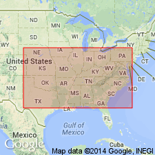
- Appalachian basin
Summary:
Floyd shales named. 2,500 ft thick. Overlie Fort Payne chert and underlie Oxmoor [Hartselle] sandstone. [Floyd shale as defined above constitutes only a small part of the black shale unit to which this name was evidently intended to apply, since part of the shale underlies Hartselle sandstone and part of it overlies the Hartselle. According to Butts, it includes beds equivalent to Ste. Genevieve limestone and overlying formations of Chester group of Mississippi Valley region up to top of Palestine sandstone, or up to base of Parkwood formation of AL, except in northern part of Shades Valley, where it extends up to base of the Pennsylvanian and includes shales contemporaneous with the Parkwood. The Hartselle as restricted is treated as a distinct formation in some areas, where it underlies Bangor limestone restricted, and as a member of Floyd shale in other areas. (See C. Butts, AL G.S. Special Report No. 14, 1926.) GNU, 1938.]
Source: GNU records (USGS DDS-6; Reston GNULEX).

- Usage in publication:
-
- Floyd shale*
- Modifications:
-
- Overview
- AAPG geologic province:
-
- Appalachian basin
Summary:
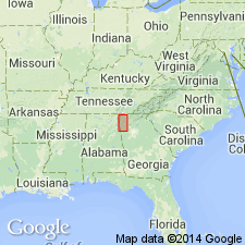
In northwestern GA, predominantly gray to black fissile shale but includes beds of limestone like those of the "Bangor" and, at one place, a thick bed of sandstone; some beds of limestone have been mapped as "Bangor," but in such places the amount of limestone falls far short of the real "Bangor," and these beds are regarded as part of the Floyd in this report. Estimated thickness at least 1,500 ft. Occurs above Pennington shale.
Source: GNU records (USGS DDS-6; Reston GNULEX).

- Usage in publication:
-
- Floyd Formation*
- Modifications:
-
- Areal extent
- AAPG geologic province:
-
- Appalachian basin
Summary:
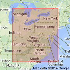
A source for siliciclastic sediments of southern Appalachian basin lies to the south, beneath coastal plain of AL and MS, and to the west off the edge of buried carbonate platform in MS and AR. From this source, shales and turbidite sequences of Floyd and Parkwood Formations spread northeastward into AL and southernmost TN, grading into orthoquartzites, graywacke sandstones, and conglomerates.
Source: GNU records (USGS DDS-6; Reston GNULEX).
For more information, please contact Nancy Stamm, Geologic Names Committee Secretary.
Asterisk (*) indicates published by U.S. Geological Survey authors.
"No current usage" (†) implies that a name has been abandoned or has fallen into disuse. Former usage and, if known, replacement name given in parentheses ( ).
Slash (/) indicates name conflicts with nomenclatural guidelines (CSN, 1933; ACSN, 1961, 1970; NACSN, 1983, 2005, 2021). May be explained within brackets ([ ]).

