- Usage in publication:
-
- Flour Sack member
- Modifications:
-
- Original reference
- Dominant lithology:
-
- Shale
- Siltstone
- Limestone
- AAPG geologic province:
-
- Plateau sedimentary province
Summary:
Pg. 14 (fig. 1), 29, 82-83. Flour Sack member of Bright Angel shale of Tonto group. Facies changes within member are striking. At Diamond Creek, Quartermaster Canyon, and Columbine Falls, consists almost entirely of thin fissile micaceous green and purple shale. West of these localities, at Rampart Cave and Diamond Bar Ranch, thin platy limestone replaces much of shale. Farther west, at mouth of Grand Canyon, shale forms only lower 30 feet of section. Thickness averages about 100 feet. Conformably underlies Rampart Cave member (new) of Muav formation; conformably overlies Meriwitica tongue (new). Laid down during a minor regression of the sea. Fossils (trilobites, brachiopods) abundant. [On p. 29 age stated to be Early and Middle Cambrian and on p. 184 (part 2) Middle Cambrian. Age is considered Early and(or) Middle Cambrian.] Report includes nomenclature chart, cross section, measured sections, faunal lists.
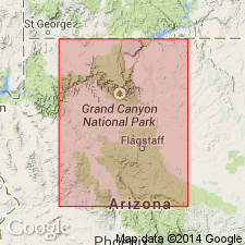
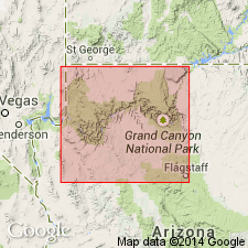
Type locality not designated. Named from former rapids of that name 8 mi east of Grand Wash Cliffs, western Grand Canyon [Mohave Co., northwestern AZ].
Source: US geologic names lexicon (USGS Bull. 1200, p. 1378); supplemental information from GNU records (USGS DDS-6; Menlo GNULEX, Denver GNULEX), GNC index card files.

- Usage in publication:
-
- Flour Sack Member*
- Modifications:
-
- Adopted
- Age modified
- AAPG geologic province:
-
- Plateau sedimentary province
Summary:
Flour Sack Member adopted as uppermost of three named units of Bright Angel Shale. Overlies Meriwitica Tongue of Bright Angel and intertongues with Muav Limestone. Age is Middle Cambrian.
Source: GNU records (USGS DDS-6; Menlo GNULEX).
For more information, please contact Nancy Stamm, Geologic Names Committee Secretary.
Asterisk (*) indicates published by U.S. Geological Survey authors.
"No current usage" (†) implies that a name has been abandoned or has fallen into disuse. Former usage and, if known, replacement name given in parentheses ( ).
Slash (/) indicates name conflicts with nomenclatural guidelines (CSN, 1933; ACSN, 1961, 1970; NACSN, 1983, 2005, 2021). May be explained within brackets ([ ]).

