The National Geologic Map Database is migrating to a new infrastructure. We apologize for any service disruptions during this process.
|
|---|


- Usage in publication:
-
- Flossie Lake subinterval
- Modifications:
-
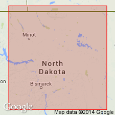
- Areal extent
- AAPG geologic province:
-
- Williston basin
Summary:
Flossie Lake subinterval (informal) of Bottineau interval (informal) in Madison Formation. Extended into North Dakota from adjacent parts of Manitoba where it was previously defined as a member of the Lodgepole Formation [M.S. Stanton, 1956, Strat. of Lodgepole Formation, Virden-Whitewater area, Manitoba: Jour. Alberta Soc. Petrol. Geol., v. 4, no. 7, p. 164-167]. Overlies Whitewater Lake subinterval (informal) of Bottineau interval; underlies Tilston interval (informal) in Madison Formation. Age is Mississippian. Boundaries and mechanical-log or lithologic characteristics not shown or described.
[Name credited to H.R. McCabe, 1963, Mississippian oil field of southwestern Manitoba: Manitoba Dept. Mines, Res. Env. Mngmt. Mines Branch Pub., no. 60-5, 50 p.]
Source: Modified from GNU records (USGS DDS-6; Denver GNULEX).
For more information, please contact Nancy Stamm, Geologic Names Committee Secretary.
Asterisk (*) indicates published by U.S. Geological Survey authors.
"No current usage" (†) implies that a name has been abandoned or has fallen into disuse. Former usage and, if known, replacement name given in parentheses ( ).
Slash (/) indicates name conflicts with nomenclatural guidelines (CSN, 1933; ACSN, 1961, 1970; NACSN, 1983, 2005, 2021). May be explained within brackets ([ ]).