The National Geologic Map Database is migrating to a new infrastructure. We apologize for any service disruptions during this process.
|
|---|


- Usage in publication:
-
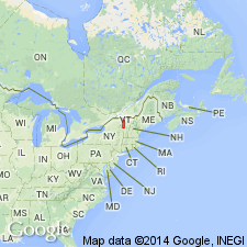
- Fleury member
- Modifications:
-
- Named
- Dominant lithology:
-
- Limestone
- AAPG geologic province:
-
- New England province
Summary:
Named the Fleury member of the Day Point formation for Fleury Bay, VT. Consists of light-gray, fossiliferous calcarenite in medium to heavy cross-laminated beds. Biohermal masses are principally LAMOTTIA HEROENSIS and are in a zone 44 to 51 feet from base of unit; similar structures of STROMATOCERIUM and bryozoans are 20 feet from top of unit. Thickness of Fleury is 115 feet, but reaches 220 feet on Valcour Island where the upper 65 feet is calcisiltite that is hard to distinguish from the overlying Crown Point limestone. Overlies Wait member of the Day Point. The Fleury is of Middle Ordovician (Chazyan) age.
Source: GNU records (USGS DDS-6; Reston GNULEX).
For more information, please contact Nancy Stamm, Geologic Names Committee Secretary.
Asterisk (*) indicates published by U.S. Geological Survey authors.
"No current usage" (†) implies that a name has been abandoned or has fallen into disuse. Former usage and, if known, replacement name given in parentheses ( ).
Slash (/) indicates name conflicts with nomenclatural guidelines (CSN, 1933; ACSN, 1961, 1970; NACSN, 1983, 2005, 2021). May be explained within brackets ([ ]).