The National Geologic Map Database is migrating to a new infrastructure. We apologize for any service disruptions during this process.
|
|---|


- Usage in publication:
-
- Fleanor formation
- Modifications:
-
- Named
- Dominant lithology:
-
- Shale
- Limestone
- Siltstone
- AAPG geologic province:
-
- Appalachian basin
Summary:
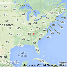
Named the Fleanor formation for Fleanor Mill, Knox Co., eastern TN. Consists of maroon and red shale, thin gray limestone, siltstone, and calcarenite. Thickness is about 200 feet. Overlies Elway formation and underlies Rockdell formation. The Fleanor is of Middle Ordovician age.
Source: GNU records (USGS DDS-6; Reston GNULEX).
- Usage in publication:
-
- Fleanor Formation
- Modifications:
-
- Overview
- AAPG geologic province:
-
- Appalachian basin
Summary:
The Fleanor Formation in east TN overlies the Blackford Formation and underlies the Hogskin and Benbolt Formations.
Source: GNU records (USGS DDS-6; Reston GNULEX).
For more information, please contact Nancy Stamm, Geologic Names Committee Secretary.
Asterisk (*) indicates published by U.S. Geological Survey authors.
"No current usage" (†) implies that a name has been abandoned or has fallen into disuse. Former usage and, if known, replacement name given in parentheses ( ).
Slash (/) indicates name conflicts with nomenclatural guidelines (CSN, 1933; ACSN, 1961, 1970; NACSN, 1983, 2005, 2021). May be explained within brackets ([ ]).