- Usage in publication:
-
- Flaxman formation*
- Modifications:
-
- Named
- Dominant lithology:
-
- Till
- AAPG geologic province:
-
- Alaska Northern region
Summary:
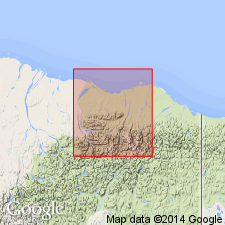
Named from Flaxman Island, its type locality, in Canning River region, northeastern AK, where well exposed. Defined as deposit of foreign glacial till, possibly containing glacial ice, scattered along Arctic coast line of AK. Forms thin surface layer up to 12 ft thick. Age is considered Wisconsinan (late Pleistocene).
Source: GNU records (USGS DDS-6; Menlo GNULEX).

- Usage in publication:
-
- Flaxman Member*
- Modifications:
-
- Revised
- AAPG geologic province:
-
- Alaska Northern region
Summary:
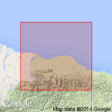
Flaxman Formation of Leffingwell (1919) reduced in rank to Flaxman Member and assigned to Gubik Formation. Consists of glaciomarine silt, clayey silt, and silty sand-bearing pebble, cobble, and boulder erratics. Represents youngest transgression of Gubik and is present along Alaskan Beaufort coast to elevations as high as 7 m. Tentatively correlated with oxygen-isotope stage 5a (approx. 75 ka) of Shackelton and Opdyke (1973). Locally overlain by regressive beach of deltaic deposits.
Source: GNU records (USGS DDS-6; Menlo GNULEX).

- Usage in publication:
-
- Flaxman Member*
- Modifications:
-
- Biostratigraphic dating
- AAPG geologic province:
-
- Alaska Northern region
Summary:
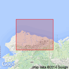
Flaxman is glaciomarine mud, few m thick. One of best exposures at Cape Simpson is 2 m thick where it disconformably overlies marine sand and is conformably (or paraconformably) overlain by marine sand. Contains sparse but diverse benthic microfauna comprising 16 taxa of marine ostracods and 16 taxa of foraminifers. Ostracods contain euryhaline and eurythermal taxa across modern inner shelf and also contain 2 taxa that are today restricted to environments of normal marine salinity. In summary fauna data suggest nearshore environments west of Harrison Bay were characterized by seasonal fluctuations in temperature and salinity --similar to modern values, but average temperature may have been higher.
Source: GNU records (USGS DDS-6; Menlo GNULEX).
For more information, please contact Nancy Stamm, Geologic Names Committee Secretary.
Asterisk (*) indicates published by U.S. Geological Survey authors.
"No current usage" (†) implies that a name has been abandoned or has fallen into disuse. Former usage and, if known, replacement name given in parentheses ( ).
Slash (/) indicates name conflicts with nomenclatural guidelines (CSN, 1933; ACSN, 1961, 1970; NACSN, 1983, 2005, 2021). May be explained within brackets ([ ]).

