The National Geologic Map Database is migrating to a new infrastructure. We apologize for any service disruptions during this process.
|
|---|


- Usage in publication:
-
- Flat Swamp Member*
- Modifications:
-
- Named
- Dominant lithology:
-
- Tuff
- Breccia
- Volcanics
- AAPG geologic province:
-
- Piedmont-Blue Ridge province
Summary:
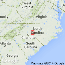
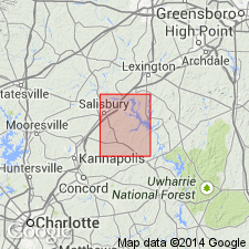
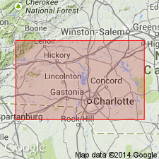
Flat Swamp Member at the top of the Cid Formation named in central NC. Consists of volcanic breccias and welded tuffs. Thickness 1200 m. Conformably overlies informal mudstone member of Cid Formation and underlies Floyd Church Member of Millingport Formation. Age is Ordovician(?). [Though not stated in publication, unit may be the same, at least in part, as the Flat Swamp Mountain sequence of Stromquist and Conley (1959) and Conley (1962).]
Source: GNU records (USGS DDS-6; Reston GNULEX).
- Usage in publication:
-
- Flat Swamp Member*
- Modifications:
-
- Age modified
- AAPG geologic province:
-
- Piedmont-Blue Ridge province
Summary:
Age of unit changed from Ordovician(?) to Cambrian.
Source: GNU records (USGS DDS-6; Reston GNULEX).
- Usage in publication:
-
- Flat Swamp Member
- Modifications:
-
- Age modified
- AAPG geologic province:
-
- Piedmont-Blue Ridge province
Summary:
Age of the Albemarle Group and all of its formations (Tillery, Cid, Floyd Church, and Yadkin) changed to latest Proterozoic, on the basis of the fossil PTERIDINIUM, diagnostic of Vendian-Ediacaran fauna, identified from the middle or upper Floyd Church Formation. This had previously been misidentified as a Cambrian trilobite. A U/Pb concordia-intercept date of 586+/-10 Ma for zircons in the upper Uwharrie Formation sets a maximum age limit for the Albemarle.
Source: GNU records (USGS DDS-6; Reston GNULEX).
For more information, please contact Nancy Stamm, Geologic Names Committee Secretary.
Asterisk (*) indicates published by U.S. Geological Survey authors.
"No current usage" (†) implies that a name has been abandoned or has fallen into disuse. Former usage and, if known, replacement name given in parentheses ( ).
Slash (/) indicates name conflicts with nomenclatural guidelines (CSN, 1933; ACSN, 1961, 1970; NACSN, 1983, 2005, 2021). May be explained within brackets ([ ]).